What is recorded here
Situated on a slight E-facing slope. The cropmark of a circular enclosure (diam. c. 40m) defined by interrupted sections of a fosse feature is visible on aerial photographs (ASIAP (101) 25-8).
Compiled by: Michael Moore
Date of upload: 4 February, 2014
The monument record does not grant public access. Check the route and ask the landowner before entering private land.
- What survives
- Recorded monument
Places near here
 IndicatedCastle, ringwork · 349 yd
 Templetown Churchchurch/chapel · 413 yd
 Old Templar ChurchRuins · 415 yd
 Templetown Bay BeachBeach / strand · 565 yd
 Promontory fortPromontory fort, coastal · 735 yd
 Not inidcatedBawn · 1052 yd
 ToberlukeHoly well · 1236 yd
 Otter HoleBeach / strand · 1589 yd
 Carricjmore CliffCliff · 1.6 mi
 Long RockNamed rock · 2.3 mi
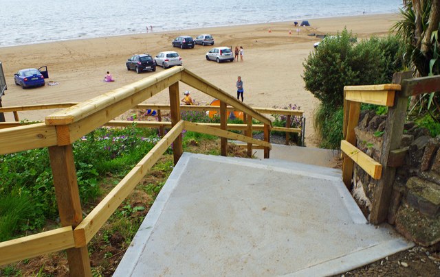 Duncannon BeachVisitor information · 3.0 mi
 St. Dubhan's ChurchHeritage attraction · 3.6 mi