What is recorded here
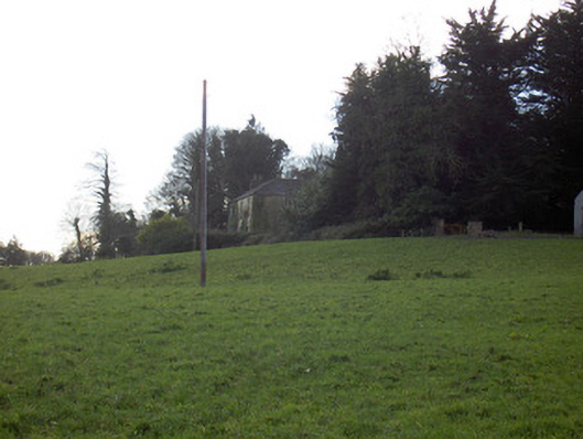
Fairy fort in Bregoge, County Cork: a 34-metre grass ring on a south-facing slope above a stream valley, its shallow eastern ditch barely visible today. People may have lived inside that thin bank before pasture and plough softened the edge, while local memory still calls it a fairy fort because the shape appeared sudden and unmapped. The ring still crosses the valley as a soil mark, waiting for someone to walk its circumference and measure how much of the old boundary remains.
In pasture, on S-facing slope overlooking stream valley. Circular area (34.5m E-W; 34.1m N-S) enclosed by slight rise all round (H 0.25m) with very shallow external fosse to E. Interior and bank grass-covered; according to local information, ring visible, as soil mark in ploughed field, from opposite side of stream valley.
The above description is derived from the published 'Archaeological Inventory of County Cork. Volume 4: North Cork' (Dublin: Stationery Office, 2000). In certain instances the entries have been revised and updated in the light of recent research.
Date of upload/revision: 14 January 2009
The monument record does not grant public access. Check the route and ask the landowner before entering private land.
- What survives
- Recorded monument
Places near here
 Bregoge Househouse · 486 yd
 Tullig Housecountry house · 843 yd
 Enclosure in Tullig (orrery and Kilmore By.)Enclosure · 850 yd
 Fulacht fia in BregogeFulacht fia · 1053 yd
 CarrigadoonCastle, unclassified · 1.0 mi
 Buttevant Rail DisasterMemorial · 1.5 mi
 Lisgriffin CastleCastle · 1.5 mi
 Lady's WellSpring · 1.6 mi
 Churchtown TrailsVisitor information · 1.6 mi
 Charles BunworthMemorial · 1.9 mi
 SycamoreSycamore · 1.9 mi
 Battle of LiscarrollMajor battlefield · 4.2 mi