What is recorded here
On a very gentle NE-facing slope in low-lying pasture. A report in 1976 (SMR file) recorded a raised circular area (diam. c. 22m) enclosed by a low bank of earth and stone with a shallow external fosse. The original entrance was not recognisable. The rath has since been largely levelled. Present remains comprise a poorly defined, roughly D-shaped mound of earth and stone (c. 20m NW-SE; c. 10m NE-SW; H 0.2m) with a straight SW side.
Compiled by: Patrick F. O'Donovan
Date of upload: 26 August 2011
The monument record does not grant public access. Check the route and ask the landowner before entering private land.
- What survives
- Recorded monument
Places near here
 Enclosure in Cross (ardagh By.)Enclosure · 526 yd
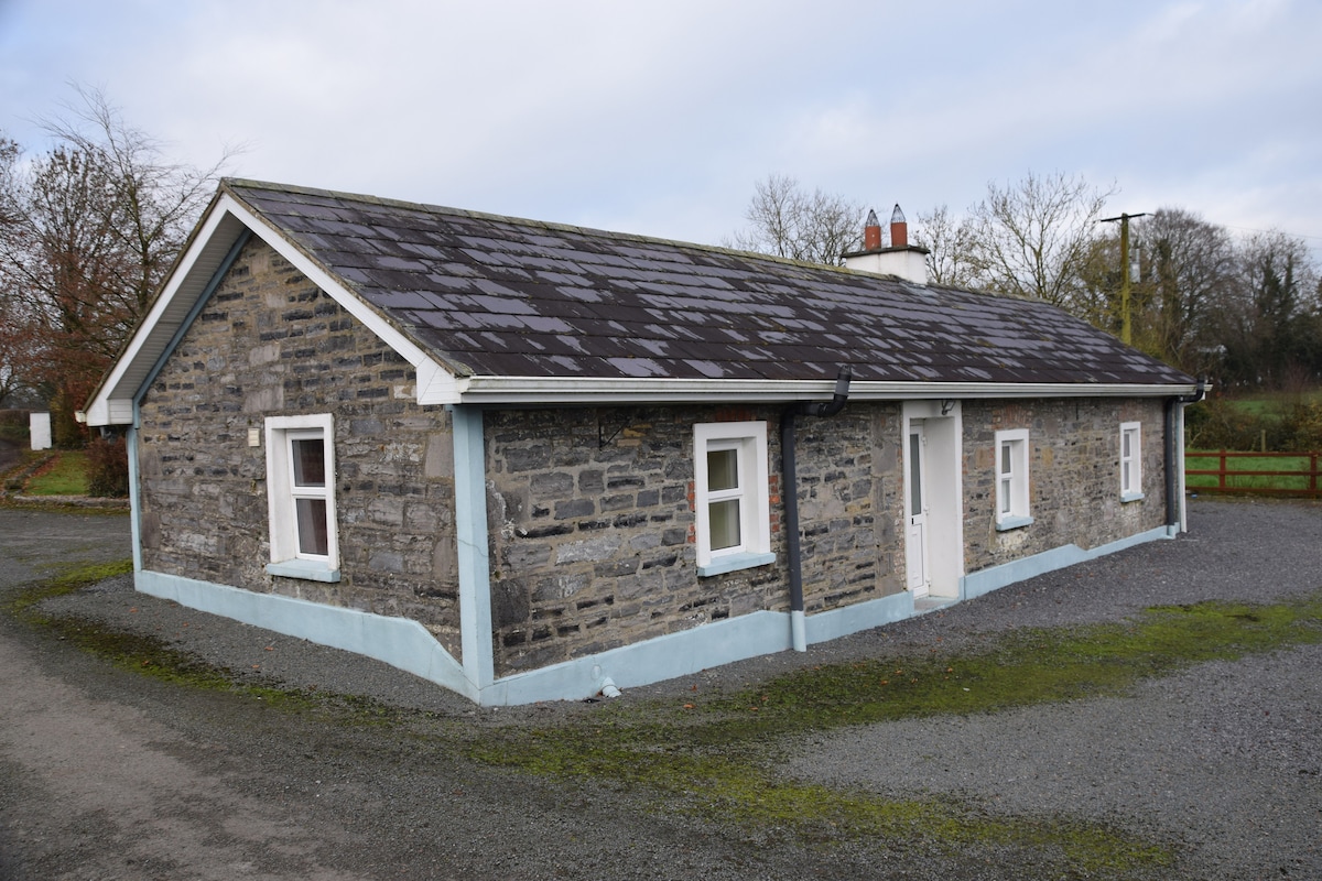 Enclosure in BreanyEnclosure · 878 yd
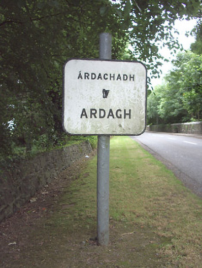 sign postsign post · 1379 yd
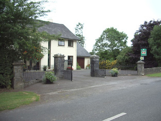 Ardkengates/railings/walls · 1534 yd
 Ardagh DemesneFort · 1728 yd
 Druming Ho. (in ruins)Castle, unclassified · 1.4 mi
 Pedunculate OakPedunculate Oak · 3.0 mi
 Common AlderCommon Alder · 3.6 mi
 National Famine WayWalking route · 3.7 mi
 Graveyard in Curry (ardagh By., Coolamber Ed)Graveyard · 6.5 mi
 Granard MotteMotte-and-bailey castle remains · 11 mi
 1798 Monumentmonument · 11 mi