What is recorded here
Lisnagrave, the fort of trees, stands thirty-one metres wide on the highest point of a low ridge beneath Knockafeehane mountain. Its earthen bank still rises two metres, though the surrounding ditch has largely vanished except for a shallow trace on the east side. Inside the southwest quadrant lies a collapsed drystone passage, possibly hiding a second chamber beneath its debris. The site feels less like a ruined house than a threshold, where the boundary between human memory and fairy speculation becomes deliberately unclear.
Internal diam. 31m
Lisnagrave/Lios na gCraobh: This circular univallate rath, with Man-made underground passage, is located on level pastureland, at the highest point of a low, local rise that runs E-W at the foot of Knockafeehane mountain. It is enclosed by an earthen bank and fosse, but the fosse can be traced only in the E quadrant where it is c. 3m wide and .4m deep below the external ground level. The bank survives to a maximum height of 2m externally and 1.2m internally and is c. 3.7m wide at base. Parts of its inner face are strewn with loose stones which may be the remains of drystone revetment walling. A 1m wide entrance gap at NW has either been recently created or modified. A less well-defined gap faces N and measures 1.5m in width. A number of field walls radiate out from the enclosure and one runs along the top of the bank in the NW quadrant.
The Man-made underground passage occurs in the SW part of the interior. It consists of a short drystone-built passage which now lacks all but 1 of its roofing slabs. The passage is 3.65m long NNW-SSE, 1.05m wide and .65m high. The walls are slightly corbelled and the N and S walls are slightly curved. The S half of the E wall has collapsed and it is possible that the debris conceals the entrance to a 2nd passage or chamber.
The above description is derived from J. Cuppage, ‘Corca Dhuibhne. Dingle Peninsula archaeological survey. Ballyferriter. Oidhreacht Chorca Dhuibhne’ (1986), no. 351. In certain instances the entries have been revised and updated in the light of recent research.
Date of upload: 6 August 2013
The monument record does not grant public access. Check the route and ask the landowner before entering private land.
- What survives
- Recorded monument
Places near here
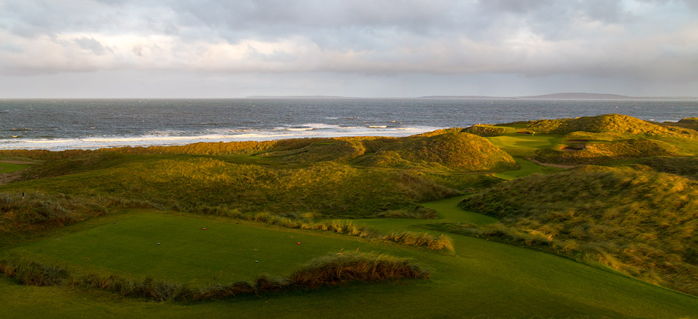 Man-made underground passage in BallintermonMan-made underground passage · 247 yd
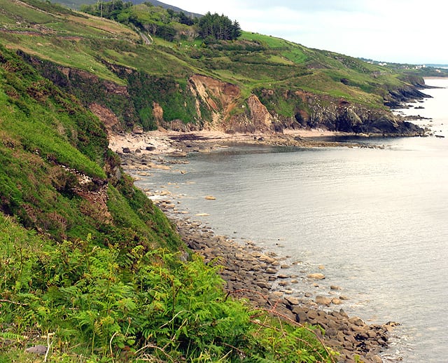 Man-made underground passage in Brackloon (corkaguiny By.)Man-made underground passage · 765 yd
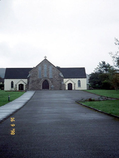 Catholic Church of the Sacred Heartchurch/chapel · 885 yd
 Brackloon Lodgehotel · 928 yd
 Statue of Our LadyHeritage attraction · 1428 yd
 Jerome ConnorMemorial · 1461 yd
 Bunaneer StrandBeach / strand · 1.3 mi
 BrickanyMountain / peak · 1.6 mi
 Graveyard in BallynacourtyGraveyard · 1.6 mi
 Acres PointHeadland · 3.2 mi
 Knockmulanane West TopMountain / peak · 3.4 mi
 Glanteenassig Forest ParkForest · 3.5 mi