What is recorded here
Located on top of a low drumlin, at the crest of the E-facing slope. This is a subcircular grass and scrub-covered area (dims c. 42m N-S; c. 32m E-W), the E half of which slopes down steeply to the E, defined by a slight earthen bank or overgrown scarp (at W: Wth 2.6m; H 1.55m), with a small bank at the base of the scarp WSW-NW. There is no visible fosse and the original entrance is not identified.
The above description is derived from the published 'Archaeological Inventory of County Monaghan' (Dublin: Stationery Office, 1986). In certain instances the entries have been revised and updated in the light of recent research.
Revised by: Michael Moore
Date of revision: 29 January 2018
The monument record does not grant public access. Check the route and ask the landowner before entering private land.
- What survives
- Recorded monument
Places near here
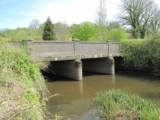 Annamakiff Bridgebridge · 753 yd
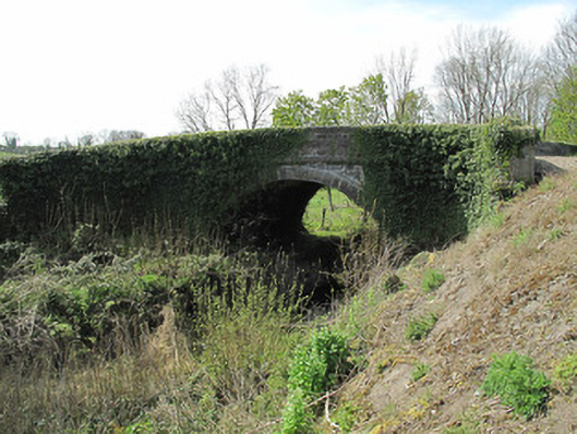 bridgebridge · 788 yd
 Giants GraveCourt tomb · 994 yd
 Crannog in Drumcaw (dartree By.)Crannog · 1240 yd
 KillycoonaghWood · 1.0 mi
 Common LimeCommon Lime · 1.1 mi
 Saint John's WellSpring · 1.2 mi
 Jaundice WellSpring · 1.3 mi
 Roosky Castle (Site of)Castle, ringwork · 1.4 mi
 Lisarrilly HillMountain / peak · 1.9 mi
 Abbey RuinsHeritage attraction · 3.1 mi
 The Cassandra Hand CentreMuseum · 3.2 mi