What is recorded here
Half a foot high and barely wider than a man’s outstretched arms, the earthen bank still curves along the coast, though the sea has already taken the other half of the circle. What remains is a shallow arc of soil and a narrow ditch, projecting twelve metres from the eroding edge of the shore above Bantry Bay. The missing part is not hidden; it has simply stopped existing. The fort is no longer a complete enclosure, but its shape is still clear enough to show that the coast once held more than it gives back.
In pasture, on coast line overlooking Bantry Bay to N. D-Shaped area, enclosed by arc of earthen bank (H 1m) with external fosse (D 1.75m) projecting 12m from eroding edge (23m NE-SW) of shore. Enclosure probably originally circular.
The above description is derived from the published 'Archaeological Inventory of County Cork. Volume 1: West Cork' (Dublin: Stationery Office, 1992). In certain instances the entries have been revised and updated in the light of recent research.
Date of upload/revision: 14 January 2009
The monument record does not grant public access. Check the route and ask the landowner before entering private land.
- What survives
- Recorded monument
Places near here
 farm housefarm house · 339 yd
 Ladys WellHoly well · 618 yd
 Fulacht fia in DromcloghFulacht fia · 893 yd
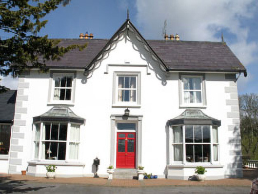 Ardeevinhouse · 906 yd
 Rabbit IslandIslet · 1208 yd
 Lousy Castle IslandIslet · 1672 yd
 GinkgoGinkgo · 1693 yd
 Bantry HouseHeritage attraction · 1.1 mi
 St. Brendans StatueMemorial · 1.6 mi
 Statue of Wolfe ToneMemorial · 1.7 mi
 Tourist OfficeVisitor information · 1.7 mi
 KnockboolteenaghMountain / peak · 1.9 mi