What is recorded here
Fairy forts are not fairy forts. They are human ringforts, misnamed later. This is a real ringfort in Bawnfune, County Cork. It stands atop a hill, circular and slightly raised, enclosed by a stone-faced earthen bank two metres high. The external fosse has filled in but still shows as a dark bank of green grass. Cultivation ridges cross the eastern half, while the western half is terraced. People lived here, shaped the land, and left a round scar the hill still carries.
In pasture, atop hill. Circular, slightly raised area (28.5m N-S; 28.5m E-W) enclosed by stone-faced earthen bank (H 2m). Filled in external fosse visible as dark bank of green grass. Cultivation ridges cross E half of interior on NE-SW axis; W half terraced.
The above description is derived from the published 'Archaeological Inventory of County Cork. Volume 1: West Cork' (Dublin: Stationery Office, 1992). In certain instances the entries have been revised and updated in the light of recent research.
Date of upload/revision: 14 January 2009
The monument record does not grant public access. Check the route and ask the landowner before entering private land.
- What survives
- Recorded monument
Places near here
 Man-made underground passage in MaulnagirraMan-made underground passage · 484 yd
 BarrowBarrow, mound barrow · 877 yd
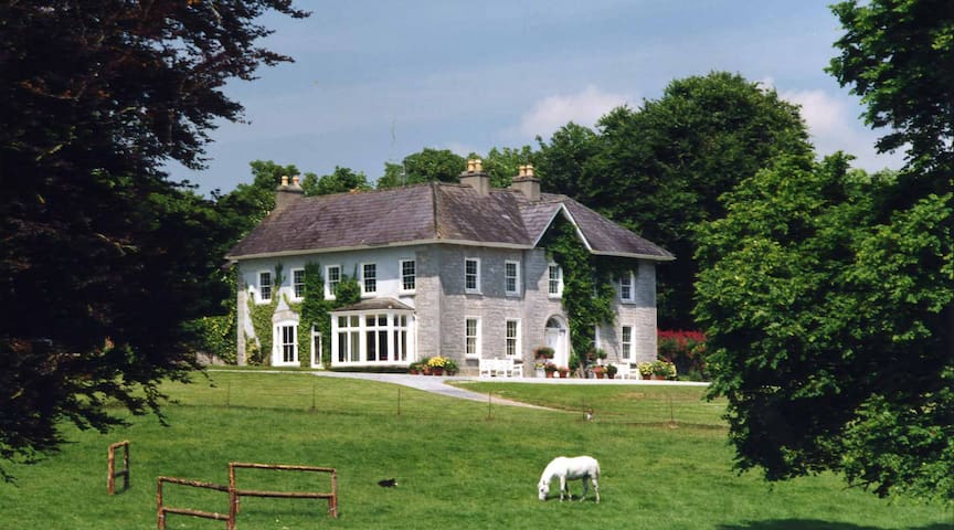 Country house in KeamoreCountry house · 1.2 mi
 rectory/glebe/vicarage/curate's houserectory/glebe/vicarage/curate's house · 1.3 mi
 Leap waterfallHeritage attraction · 1.4 mi
 Bláth na GréineWood · 1.5 mi
 Sitka SpruceSitka Spruce · 1.7 mi
 Myross PointHeadland · 2.1 mi
 Wild Atlantic WayVisitor information · 2.5 mi
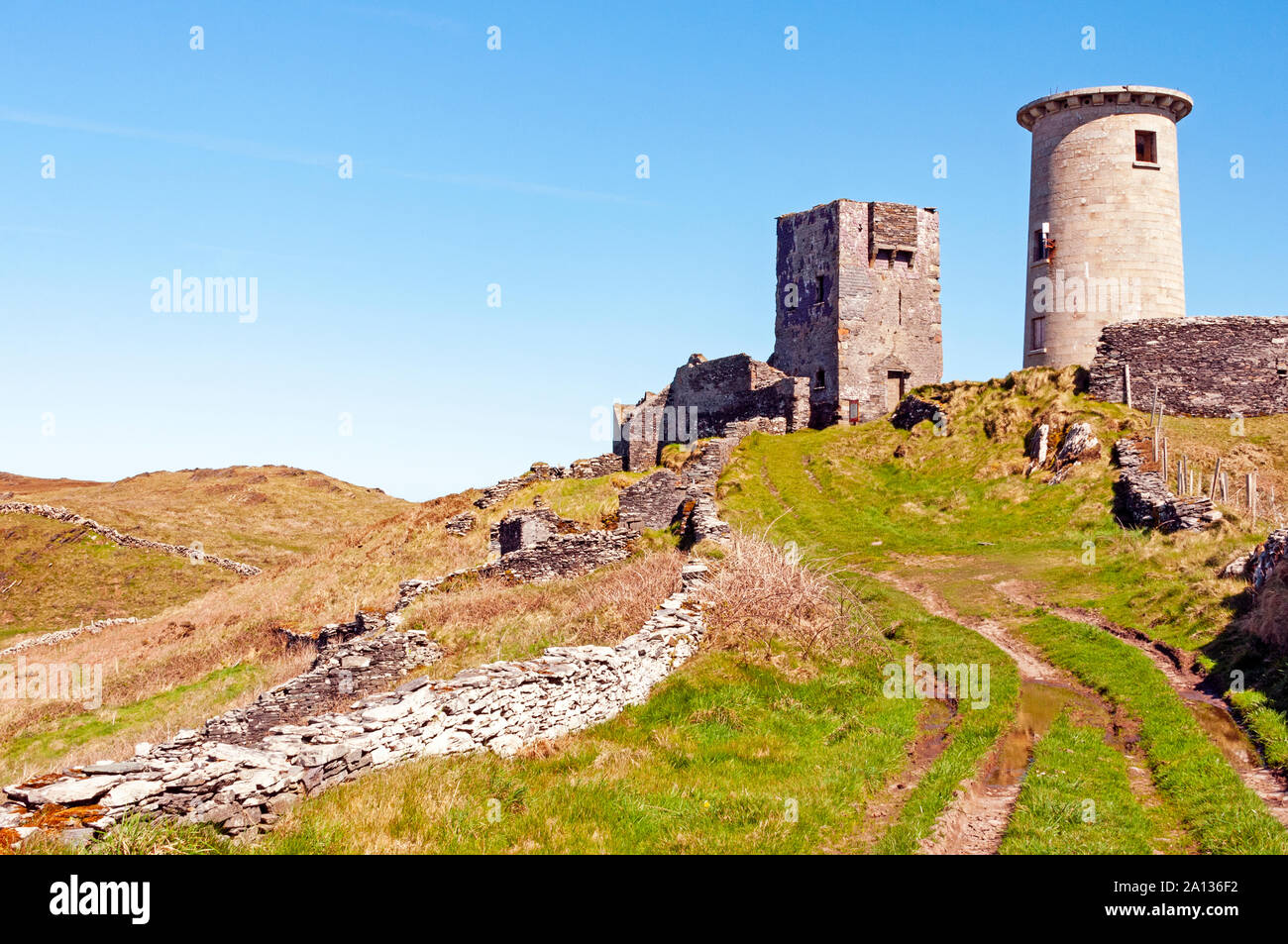 LookoutMountain / peak · 3.1 mi
 Lettertinlish Castle (Ruins)Castle · 3.8 mi
 Coolngrane Fairy FortFort · 4.1 mi