What is recorded here
Bawn is a vanished ringfort on a Longford hilltop where a castle once stood inside the circular fence. Men levelled the earth in the nineteenth century, erasing the fort and castle from the landscape, but a shallow scar still marks the forty-four-metre circle. The fairies never left. They simply stopped building walls people could break.
On a low rise on a hilltop affording extensive views in all directions. Depicted as a circular enclosure with the designation 'Fort' on the 1837 ed. of the OS 6-inch map. A 'Castle' (see LF009-002001-) is depicted within the enclosed area. Both were described in 1966 as 'recently levelled' (SMR file). However, the outline of the enclosure, marked by a poorly defined scarp (max. H 1m) and defining a circular area (diam. 44m), is still identifiable albeit with difficulty. The rath may have been reused as the bawn of the castle.
Compiled by: Patrick F. O'Donovan
Date of upload: 26 November 2011
The monument record does not grant public access. Check the route and ask the landowner before entering private land.
- What survives
- Recorded monument
Places near here
 CastleCastle, unclassified · 16 yd
 IndicatedKiln, lime · 197 yd
 Enclosure in OghilEnclosure · 1.3 mi
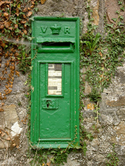 post boxpost box · 1.5 mi
 Man-made underground passage in BundoonMan-made underground passage · 1.7 mi
 Common LimeCommon Lime · 3.1 mi
 Pedunculate OakPedunculate Oak · 3.1 mi
 CastleforbesCastle · 3.3 mi
 Saint Mel's CathedralCathedral · 4.6 mi
 First World War MemorialMemorial · 4.7 mi
 Long IslandIslet · 4.8 mi
 St. Barry's WellSpring · 4.9 mi