What is recorded here
Fairy fort / earthen ringfort in Bawn (Kilmore parish, North Riding) is a fairy fort or earthen ringfort in Bawn (Kilmore parish, North Riding), County Tipperary, Ireland. The northwestern sector of its six metre wide earth and stone bank and four metre wide external ditch still marks a field boundary on a low natural rise. A probable 1960s land improvement scheme levelled the rest of the circle, though an aerial photograph preserves the complete outline.
Situated on a low natural rise of ground in an upland area with a destroyed ringfort (TN026-029) nearby to the SW. All that remains of this partially levelled ringfort is the NW sector of the earth and stone bank (Wth 6m; max. int. H 2m) and external fosse (Wth 4m) where it acts as a field boundary. The site was probably levelled by a land improvement scheme in the 1960s. An aerial photograph (OS 5634\5) shows the clear outline of a large circular ringfort.
The above description is derived from 'The Archaeological Inventory of County Tipperary. Vol. 1 - North Tipperary' compiled by Jean Farrelly and Caimin O'Brien (Dublin: Stationery Office, 2002). In certain instances the entries have been revised and updated in the light of recent research.
Date of upload/revision: 22 September 2008
The monument record does not grant public access. Check the route and ask the landowner before entering private land.
- What survives
- Recorded monument
Places near here
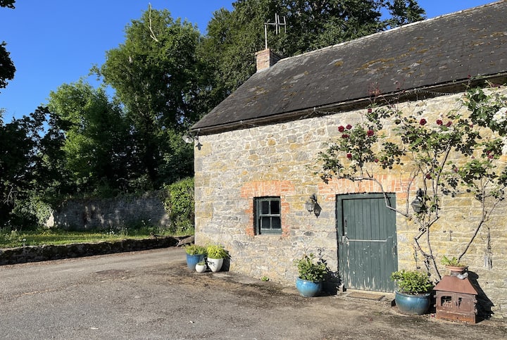 Enclosure in Bawn (kilmore Par., North Riding),lissyleamyEnclosure · 209 yd
 Site of Bawn CastleCastle, unclassified · 832 yd
 Enclosure in KeraneEnclosure · 1192 yd
 Kilmore Househouse · 1713 yd
 Ballycahill Castle (in ruins)Castle, unclassified · 1.2 mi
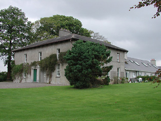 Bayly Farmhouse · 1.7 mi
 Sweet ChestnutSweet Chestnut · 2.1 mi
 Gibbet HillMountain / peak · 2.3 mi
 Our Lady Assumed into HeavenMemorial · 2.5 mi
 The MinerMemorial · 2.5 mi
 Nenagh Heritage CentreMuseum · 2.7 mi
 Old BarracksHeritage attraction · 2.9 mi