What is recorded here
The remains of a roughly-circular enclosure which could be the remains of a possible ringfort are visible on Bing Maps aerial photograph (pers. comm. C. McCormack). No antiquity is depicted at this location on the 1837 ed. OS 6-inch map. Battstown House located 225m to the SE, could be the remains of a landscape feature associated with Battstown House.
Compiled by: Caimin O’Brien
Date of upload: 14 February 2014
The monument record does not grant public access. Check the route and ask the landowner before entering private land.
- What survives
- Recorded monument
Places near here
 Settlement desertedSettlement deserted, medieval · 550 yd
 Site of Fennor CastleCastle, tower house · 1289 yd
 OutlinedCastle, unclassified · 1.1 mi
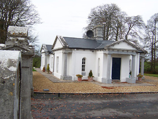 Gigginstown Housegate lodge · 1.1 mi
 Church in ruinsChurch · 1.1 mi
 Ecclesiastical enclosure in CrosserdreeEcclesiastical enclosure · 1.1 mi
 GinkgoGinkgo · 1.7 mi
 The FurzeForest · 4.0 mi
 Castle IslandIslet · 4.9 mi
 KnockeyonMountain / peak · 5.3 mi
 Kells HillMountain / peak · 6.9 mi
 Zip WireHeritage attraction · 9.6 mi