What is recorded here
Subcircular enclosure (max. dims. 27.2m E-W, 23.5m N-S) defined by a scarp and slight fosse outside. No evidence for an entrance. Situated in lowlying area.
Subcircular shaped platform (diam 26m; ext. H 0.5m) enclosed by earthen bank (W 0.5m; ext. H 0.9m) with no evidence of an enclosing fosse or entrance feature situated on low-lying land.
The above description is derived from the published 'Archaeological Inventory of County Offaly' (Dublin: Stationery Office, 1997). In certain instances the entries have been revised and updated in the light of recent research.
Date of upload: 23 May 2011
The monument record does not grant public access. Check the route and ask the landowner before entering private land.
- What survives
- Recorded monument
Places near here
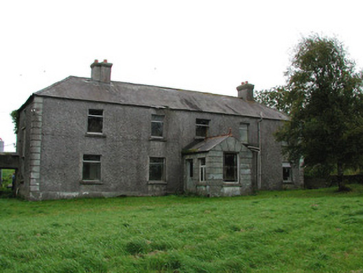 Barrysbrook Housefarm house · 697 yd
 Children's Burial GroundArchaeological place · 1180 yd
 Hilltop enclosure in Togher (phillipstown Lower By.)Hilltop enclosure · 1227 yd
 RoadRoad, class 2 togher · 1437 yd
 Croghan HillMountain / peak · 1603 yd
 Croghan Hill WalkVisitor information · 1.0 mi
 Finnrenashark Holy WellSpring · 1.1 mi
 Site of Lady Mary Warrens CastleCastle, unclassified · 1.1 mi
 OConor Falys or Croghan Castle (in ruins)House, fortified house · 1.6 mi
 Clonin EarthworksMountain / peak · 1.9 mi
 Holy PlantationForest · 2.0 mi
 Victoria PlantationWood · 2.0 mi