What is recorded here
Situated on a NE-facing slope. The cropmark of a circular enclosure (diam. c. 50m) defined by a narrow fosse feature is visible on aerial photographs (MM (53) 5-8). It is slightly truncated by a NE-SW field bank at SE and there is an entrance gap at SW.
Compiled by: Michael Moore
Date of upload: 12 April, 2012
Amended: 8 May, 2014
The monument record does not grant public access. Check the route and ask the landowner before entering private land.
- What survives
- Recorded monument
Places near here
 Church in Killowen (gorey By.)Church · 938 yd
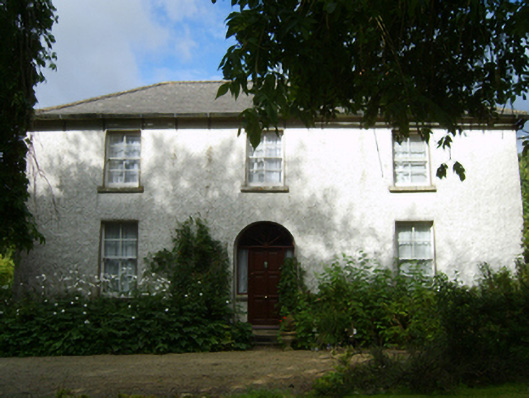 Ballincor Housefarm house · 1264 yd
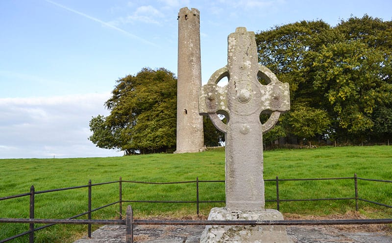 CrossCross, High cross · 1.6 mi
 Fulacht fia in Moneycross UpperFulacht fia · 1.6 mi
 Gorey HillMountain / peak · 2.4 mi
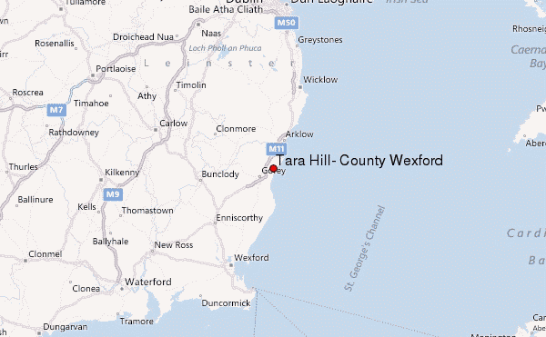 Ballyminaun HillMountain / peak · 2.6 mi
 1798 MonumentMemorial · 2.9 mi
 Barnadown WoodWood · 3.0 mi
 Market HouseHeritage attraction · 3.3 mi
 Ballingarry WoodForest · 3.4 mi
 Saint Brigid's WellSpring · 3.9 mi
 Blue SchoolMemorial · 4.6 mi