
What is recorded here
Situated on a broad, low hill. Marked only on the 1924 ed. of the OS 6-inch map as a small hachured feature (ext. dims c. 40m NW-SE; c. 30m NE-SW), this is a possible Catholic church. The foundations of rectangular building (int. dims 12.2m WNW-ESE; 6m NNE-WSW) are defined by collapsed clay-bonded stone walls (T 0.85m; H c. 1m) that contain quartz stones. There is no visible entrance or other architectural feature. Nor is there evidence of an enclosure or burial altough there is a local tradition of burial.
The above description is derived from the published 'Archaeological Inventory of County Wexford' (Dublin: Stationery Office, 1996). In certain instances the entries have been revised and updated in the light of recent research.
Compiled by: Michael Moore
Date of upload/revision: 11 April, 2012
The monument record does not grant public access. Check the route and ask the landowner before entering private land.
- What survives
- Recorded monument
Places near here
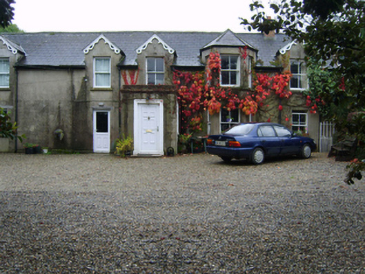 Glandoran Housefarm house · 1089 yd
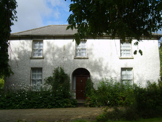 Ballincor Housefarm house · 1.2 mi
 BullanCross · 1.5 mi
 TumulusEnclosure · 1.5 mi
 Gorey HillMountain / peak · 1.8 mi
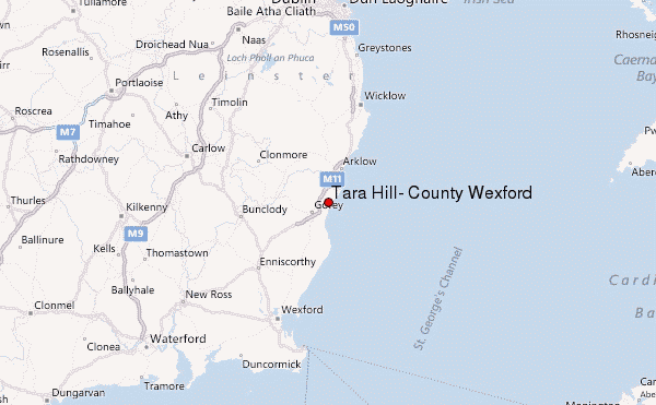 Ballyminaun HillMountain / peak · 2.2 mi
 1798 MonumentMemorial · 2.4 mi
 Market HouseHeritage attraction · 2.7 mi
 Barnadown WoodWood · 2.9 mi
 Ballingarry WoodForest · 3.0 mi
 Saint Brigid's WellSpring · 4.2 mi
 Blue SchoolMemorial · 5.0 mi
Other information
Photo: Credit not shown in the picture search · Rights wording not checked; contact us if this picture should be removed