What is recorded here
No visible fort remains in Ballyshonickbane, though an 1841 map marked a circular embankment about twenty-five metres across atop a limestone hillock. The field still twists into humps and hollows, as if the fort withdrew beneath the rock instead of disappearing. People may have lived there, feared there, or simply walked past while the ground kept its own shape.
In pasture, atop limestone hillock. Monument, depicted on 1841 OS 6-inch map as embanked circular enclosure (diam. c. 25m, has been levelled. No trace of monument evident when inspected. Field where site located has very uneven surface with numerous humps and hollows due to outcropping limestone.
Compiled by: Denis Power
Date of upload: 26 August 2011
The monument record does not grant public access. Check the route and ask the landowner before entering private land.
- What survives
- Recorded monument
Places near here
 Carriganea CastleCastle · 804 yd
 TobermurryHoly well · 893 yd
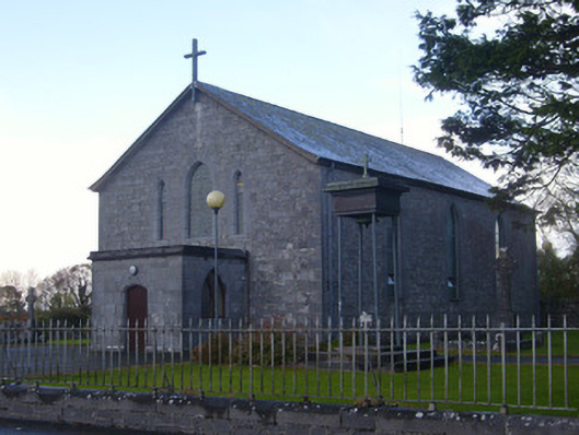 Catholic Church of Saint John the Baptistchurch/chapel · 1051 yd
 Fulacht fia in TobermurryFulacht fia · 1207 yd
 Derreen Castle (in ruins)Castle, tower house · 1344 yd
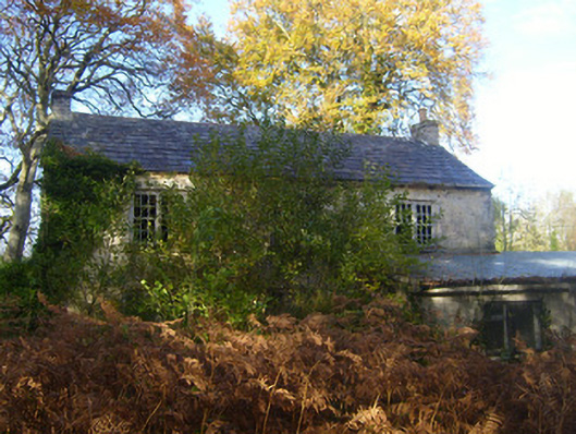 Dromlohan National Schoolschool · 1389 yd
 Stonehall Visitor FarmHeritage attraction · 1.4 mi
 European YewEuropean Yew · 1.7 mi
 Celtic Park and GardensHeritage attraction · 1.7 mi
 Sweet ChestnutSweet Chestnut · 2.2 mi
 Ringmoylan PierVisitor information · 2.9 mi
 Mellon PointHeadland · 3.4 mi