What is recorded here
Fairy forts are human places misnamed, often by people who stopped asking questions. In Ballynahaha, County Limerick, a broken earthen ring sits in pasture on a north-facing slope, its scarped edge still marking a circle about twenty-nine metres across. A farmyard once stood beside it, according to the older map, but that neighbour has vanished, leaving the ring to keep its own company. The fairies may be getting a rest from being asked to explain ordinary human ambition.
In pasture, on N-facing slope. Circular area (29m N-S) defined by scarped edge (H 1.3m: Wth 9.5m) NW->SW but which is truncated SW->NW by N-S field boundary (distance from field boundary to scarped edge at E: 23.1m). The 1924 OS 6-inch map shows field boundary abutting enclosure at S and a farmyard immediately NE of enclosure; both of these are now removed. Interior, under pasture, slopes down to E.
Compiled by: Denis Power
Date of upload: 26 August 2011
The monument record does not grant public access. Check the route and ask the landowner before entering private land.
- What survives
- Recorded monument
Places near here
 Ballynahaha Housegates/railings/walls · 962 yd
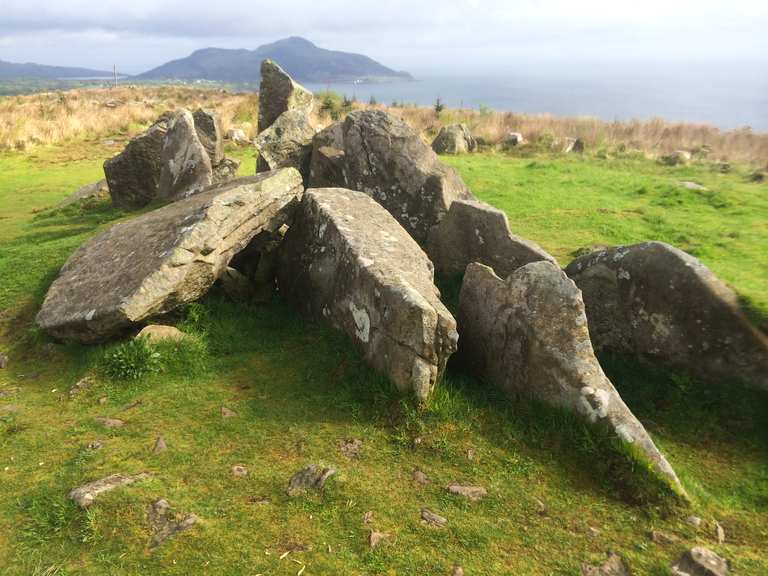 Giants Grave (1924).Wedge tomb · 1084 yd
 Indicated (1924).Field boundary · 1141 yd
 Famine stoneMemorial · 1162 yd
 Abbey (in ruins)Church · 1276 yd
 KnockfeerinaMountain / peak · 1289 yd
 Kilmacow Ho.Bawn · 1.2 mi
 Castle (in ruins)Castle, tower house · 1.6 mi
 Kinnoor WellSpring · 2.3 mi
 Flat cemetery in Kiltenan SouthFlat cemetery · 2.9 mi
 Dysert AenghusaHeritage attraction · 4.0 mi
 Our Lady's WellSpring · 4.6 mi