What is recorded here
Ballynagaul once held a twenty-metre earthen ring on a north-facing slope, but that shape has vanished from the pasture. The land keeps no visible scar of the fort, only a quiet absence where a boundary once stood. What was built there has been returned to the soil, leaving behind a gap the memory must cross.
In pasture, on N-facing slope. Monument, depicted as embanked circular enclosure (diam. c. 20m) on 1923 OS 6-inch map, has been levelled. No trace of monument evident when inspected.
Compiled by: Denis Power
Date of upload: 26 August 2011
The monument record does not grant public access. Check the route and ask the landowner before entering private land.
- What survives
- Recorded monument
Places near here
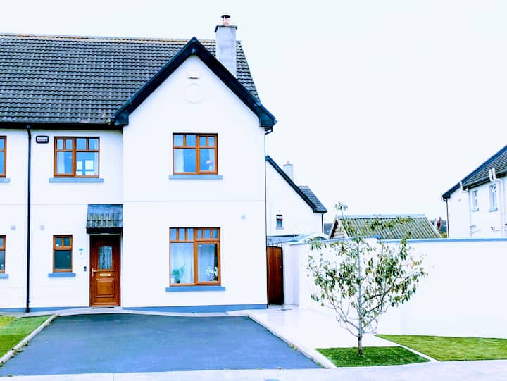 LisnagryArchaeological place · 455 yd
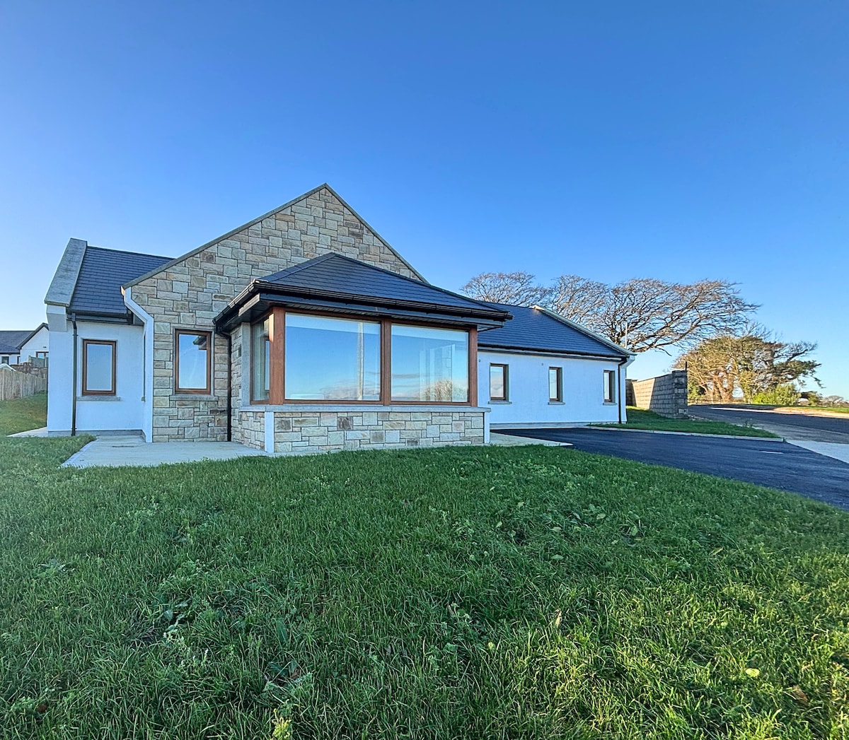 Enclosure in BallynagaulEnclosure · 1083 yd
 Fort Shannonhouse · 1406 yd
 Glin CastleCastle · 1591 yd
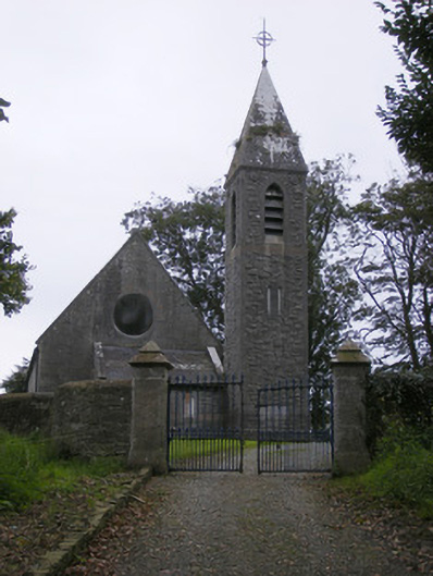 Saint Paul's Church (Kilfergus)church/chapel · 1.1 mi
 Bawn in Killacolla (barker)Bawn · 1.4 mi
 Tarbet BayBay · 2.4 mi
 Mountshannon WoodWood · 3.2 mi
 Prospect HillMountain / peak · 3.5 mi
 TobercloonaghSpring · 3.5 mi
 Mountshannon PointHeadland · 3.6 mi
 Mountshannon EstateHeritage attraction · 4.5 mi