What is recorded here
Fairy fort / earthen ringfort in Ballymacurly South is a fairy fort or earthen ringfort in Ballymacurly South, County Roscommon, Ireland. It occupies a gentle NE-facing slope of a broad NW-SE ridge as a subcircular grass-covered area measuring 53m north-south and 47m east-west. A scarp rising 0.25 to 1m defines the perimeter, while a NNE-SSW relict field bank overlays the SE edge and extends south. A N-S field wall and hedge cross the interior near the west, where a fosse with a 5.7m top width and 0.65m depth marks the boundary from SW to NW.
On a gentle NE-facing slope of a broad NW-SE ridge. Subcircular grass-covered area (dims 53m N-S; 47m E-W) defined by a scarp (H 0.25-1m). The perimeter at SE is overlain by a NNE-SSW relict field bank (Wth 1.8m; H 0.3m) which extends off to the S. The interior is overlain by a N-S field wall and hedge towards its W edge, and a fosse (Wth of top 5.7m; Wth of base 2.8m; D 0.65m) defines the perimeter W of this feature SW-NW. Man-made underground passage (035-027002-) is inside the perimeter at SW.
Compiled by: Michael Moore
Date of upload: 24 August 2010
The monument record does not grant public access. Check the route and ask the landowner before entering private land.
- What survives
- Recorded monument
Places near here
 Man-made underground passage in Ballymacurly SouthMan-made underground passage · 611 yd
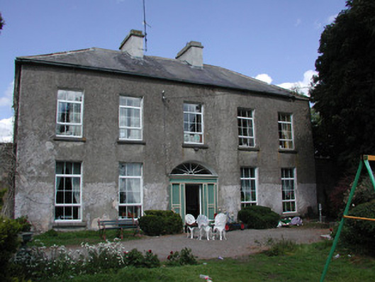 Ballymacurly Househouse · 845 yd
 IndicatedFairy fort / earthen ringfort · 939 yd
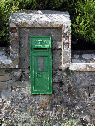 post boxpost box · 1522 yd
 HawthornHawthorn · 2.7 mi
 Leitrim CastleCastle, unclassified · 5.0 mi
 CastlerubyCastle, unclassified · 5.4 mi
 European ashEuropean ash · 5.5 mi
 Roscommon CastleCastle · 5.7 mi
 Site of Killomaine Grave YardArchaeological place · 7.2 mi
 Sally IslandIslet · 8.8 mi
 Mount MaryMountain / peak · 9.8 mi