What is recorded here
Fairy fort / earthen ringfort in Ballyline (bunratty Upper By.) is a subcircular grass-covered area, 31.7m E-W and 27.5m N-S, defined by a very low earthen bank on a gentle SE-facing slope. The bank measures 6-8.4m wide, rises 0.15-0.25m internally on the E-S side and 0.45-0.55m on the W-N side, with external heights of 0.2-0.3m generally and 0.5m at S. No visible fosse or entrance remains, yet the shape endures on a hillock where people may have drawn a boundary around ordinary life.
Marked as a circular enclosure (diam. c. 35m) on the 1842 ed. of the OS 6-inch map, and situated on the gentle SE-facing slope of a hillock. Listed as 'Enclosure' in the SMR (1992) and the RMP (1996). A subcircular grass-covered area (diam. 31.7m E-W; 27.5m N-S) defined by a very low earthen bank (Wth 6-8.4m; int. H 0.15-0.25m E-S to 0-.45-0.55m W-N; ext. H 0.2-0.3m generally to 0.5m at S). There is no visible fosse or entrance.
Compiled by: Michael Moore
Date of upload: 2 May 2017
A fairy fort or earthen ringfort in Ballyline is a likely early-medieval defensive or agricultural site, indicated by its circular enclosure and location on a slope. Local tradition associates such sites with fairy folklore, reflecting their enigmatic and sacred status in Irish cultural memory.
The monument record does not grant public access. Check the route and ask the landowner before entering private land.
- What survives
- Recorded monument
Places near here
 Enclosure in Ballyline (bunratty Upper By.)Enclosure · 911 yd
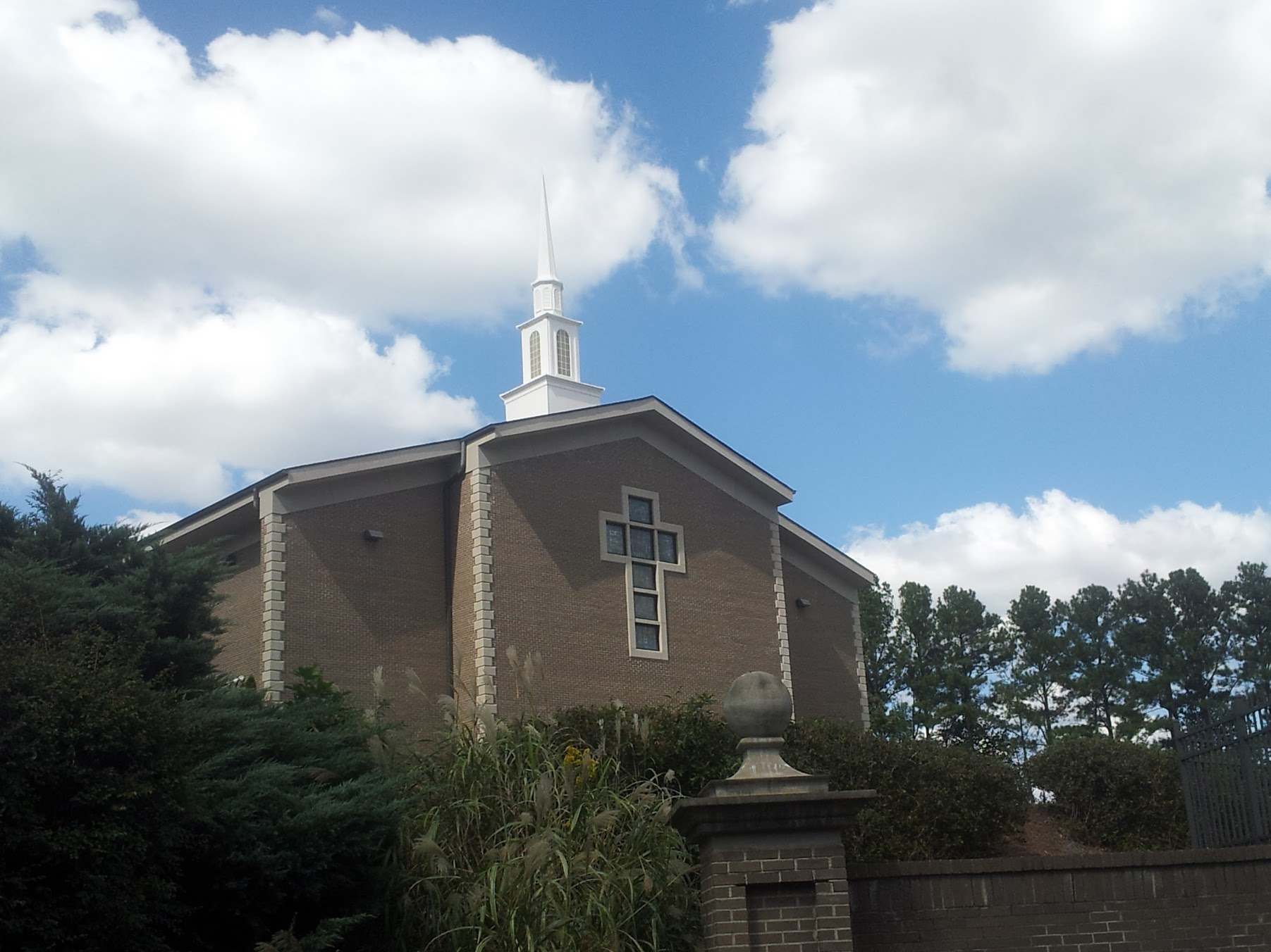 Church in KillianChurch · 1248 yd
 Kilbakee Church (ruins)Ruins · 1281 yd
 Enclosure in BearnafunshinEnclosure · 1682 yd
 Dromore CastleCastle · 1.2 mi
 Castle (in ruins)Castle, unclassified · 1.3 mi
 Dromore WoodWood · 1.3 mi
 Mulkere MemorialMemorial · 1.8 mi
 Ballygriffy WoodWood · 3.1 mi
 Battle of TullyodeaBattlefield · 3.3 mi
 Burren National ParkVisitor information · 6.6 mi
 Poul na gollorCave · 7.7 mi