What is recorded here
Fairy fort / earthen ringfort in Ballyhogan (Burgesbeg parish), Gortycullane is a fairy fort or earthen ringfort in Ballyhogan (Burgesbeg parish), Gortycullane, County Tipperary, Ireland. It occupies a south-east-facing slope of rising upland ground, with a possible ringfort to the south-east and two other ringforts to the east. The circular area measures 21 metres from north-west to south-east and is enclosed by an earth and stone bank 2 metres wide, rising 0.5 metres internally and 1.2 metres externally, with an external ditch 3 metres wide intersected at the south-west by a field fence. A 2.5-metre entrance gap opens at the south-east.
Situated on a SE-facing slope of rising ground in an upland area with a possible ringfort (TN020-068) to the SE and two other ringforts (TN020-064, TN020-069) to the E. A raised circular area (diam. 21m NW-SE) enclosed by an earth and stone bank (Wth 2m; int. H 0.5m; ext. H 1.2m) and external fosse (Wth 3m) which is intersected at SW by a field fence. Entrance gap (Wth 2.5m) at SE.
The above description is derived from 'The Archaeological Inventory of County Tipperary. Vol. 1 - North Tipperary' compiled by Jean Farrelly and Caimin O'Brien (Dublin: Stationery Office, 2002). In certain instances the entries have been revised and updated in the light of recent research.
Date of upload/revision: 22 September 2008
The monument record does not grant public access. Check the route and ask the landowner before entering private land.
- What survives
- Recorded monument
Places near here
 Ritual siteRitual site, holy tree/bush · 776 yd
 Enclosure in MountsackEnclosure · 923 yd
 Old Br.Bridge · 1.1 mi
 Castle (in Ruins)Bawn · 1.6 mi
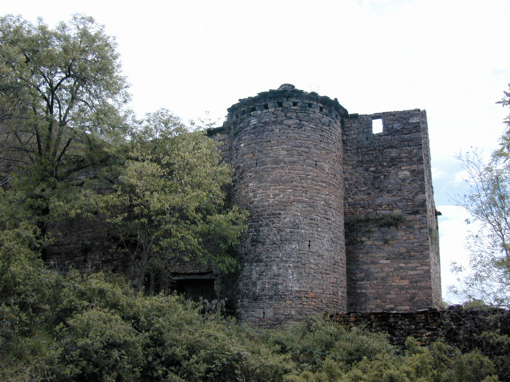 (Site of) Pallas CastleCastle, Anglo-Norman masonry castle · 1.7 mi
 Pallas Church (in Ruins)Church · 1.9 mi
 Coum HillMountain / peak · 2.1 mi
 Giant's GraveArchaeological place · 2.2 mi
 Corbally HillMountain / peak · 2.4 mi
 Blessed WellNature reserve · 3.8 mi
 Saint Patrick's RockNamed rock · 4.0 mi
 The MinerMemorial · 4.1 mi