What is recorded here
Fairy fort in Ballyhandle, County Cork: a 33m earthen ring on a north-facing slope, its saucer interior tilted upward on the south to balance the hill. A farm building leans against the southwest bank, conifers crowd the middle, and a shallow fosse cuts the western edge. People may have lived there before pasture and planting changed the shape of daily life, but the ring still marks the boundary between human use and forgotten time.
In pasture, on N-facing slope. Circular area (33m N-S; 34m E-W) enclosed by low earthen bank; external fosse (D 1.2m) W->N; farm building adjacent to bank to SW. Interior saucer-shaped and raised on S side to compensate for hillslope; planted with conifers.
The above description is derived from the published 'Archaeological Inventory of County Cork. Volume 2: East and South Cork' (Dublin: Stationery Office, 1994). In certain instances the entries have been revised and updated in the light of recent research.
Date of upload/revision: 14 January 2009
The monument record does not grant public access. Check the route and ask the landowner before entering private land.
- What survives
- Recorded monument
Places near here
 Ballyhandle Castle (in Ruins)Castle, Anglo-Norman masonry castle · 370 yd
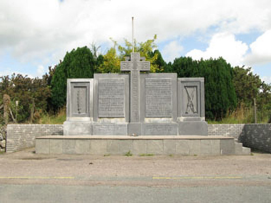 monumentmonument · 603 yd
 Lissagroom Househouse · 624 yd
 Sunday WellSpring · 1639 yd
 Moated site in Annagh MoreMoated site · 1643 yd
 Sundays WellHoly well · 1647 yd
 Bi-Centenary of 1798Memorial · 1.0 mi
 Charlie Hurley MemorialMemorial · 1.7 mi
 Dromkeen WoodWood · 3.1 mi
 Dromkeen Wood Nature ReserveForest · 3.2 mi
 Shippool CastleCastle · 4.5 mi
 Carbury's WellSpring · 5.5 mi