
What is recorded here
In tillage, on SW-facing slope just above bog. Levelled site hachured on 1842 OS 6-inch map as bivallate rectangular enclosure (max. diam. c. 90m ENE-WSW; 55m NNW-SSW), with rectangular structure in SW corner. Recent cropmarks and soilmarks (CASAP) show enclosure as trapezoidal; possible second structure in NE corner of interior.
The above description is derived from the published 'Archaeological Inventory of County Cork. Volume 2: East and South Cork' (Dublin: Stationery Office, 1994). In certain instances the entries have been revised and updated in the light of recent research.
Date of upload/revision: 14 January 2009
The monument record does not grant public access. Check the route and ask the landowner before entering private land.
- What survives
- Recorded monument
Places near here
 Dunkereen Cottagecountry house · 923 yd
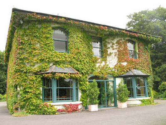 Dunkereen Househouse · 972 yd
 Ballyhandle Castle (in Ruins)Castle, Anglo-Norman masonry castle · 1630 yd
 Bi-Centenary of 1798Memorial · 1670 yd
 Sunday WellSpring · 1.2 mi
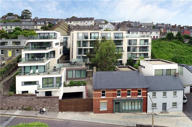 Sundays WellHoly well · 1.2 mi
 Killountane Burial Gd (Disused)Burial ground · 1.4 mi
 Monterey CypressMonterey Cypress · 2.3 mi
 Dromkeen WoodWood · 2.3 mi
 Downdaniel Castle (in Ruins)Castle, tower house · 2.4 mi
 Marie LouiseWreck · 4.2 mi
 Carbury's WellSpring · 4.9 mi
Other information
Photo: Credit not shown in the picture search · Rights wording not checked; contact us if this picture should be removed