What is recorded here
Fairy forts are human places misnamed because people stopped remembering they were human. In Ballygrissane, a circular earthwork sat atop an east-west ridge, small enough to walk around quickly and old enough to appear on an 1842 map. It may have held a home, a yard, a boundary or a forgotten claim to land. When it was levelled around 1960, the fairy story became convenient: if no one remembers the people, the fairies get the credit.
In pasture, atop E-W ridge. Shown on 1842 OS 6-inch map as hachured circular enclosure; on later eds OS 6-inch map as arc of hachures. Circular area (32.5m N-S; 32.5m E-W) defined by low bank (H 0.2m). Interior level. According to local information, levelled c. 1960.
The above description is derived from the published 'Archaeological Inventory of County Cork. Volume 2: East and South Cork' (Dublin: Stationery Office, 1994). In certain instances the entries have been revised and updated in the light of recent research.
Date of upload/revision: 14 January 2009
The monument record does not grant public access. Check the route and ask the landowner before entering private land.
- What survives
- Recorded monument
Places near here
 Fulacht fia in Kilpatrick (kinalea By.)Fulacht fia · 962 yd
 Kilpatrick WellHoly well · 1066 yd
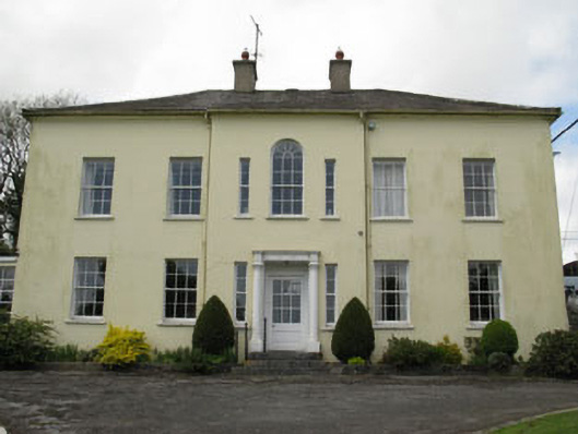 Willowhill Househouse · 1106 yd
 Kilpatrick Church (in Ruins)Church · 1175 yd
 Castle (in Ruins)Castle, tower house · 2.2 mi
 Fountainstown BeachBeach / strand · 2.4 mi
 Coolmore WoodWood · 2.7 mi
 PoughgormBeach / strand · 3.1 mi
 Cogan's CastleCastle · 3.1 mi
 Loughbeg Bird ReserveNature reserve · 3.5 mi
 Crosshaven Tourist OfficeVisitor information · 3.7 mi
 William Warren Baldwin plaqueMemorial · 3.8 mi