What is recorded here
On a low hill in pasture, affording excellent views in all directions. A raised circular area (diam. 35.6m) enclosed by a low bank of earth and stone (Wth 5.1m; H 0.6m max.) from SSW-SW. From NNW-N-SE the bank has been extensively modified and incorporated into a field boundary. Elsewhere it has been levelled but its outline (Wth 5.6m) is still identifiable. A report in 1975 (SMR file) recorded an external fosse, which is no longer identifiable. The original entrance is not recognisable.
Compiled by: Patrick F. O'Donovan
Date of upload: 26 August 2011
The monument record does not grant public access. Check the route and ask the landowner before entering private land.
- What survives
- Recorded monument
Places near here
 CastleCastle, Anglo-Norman masonry castle · 1377 yd
 Bawn in LissardowlanBawn · 1415 yd
 Field boundary in LissardowlanField boundary · 1433 yd
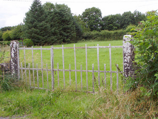 gates/railings/wallsgates/railings/walls · 1541 yd
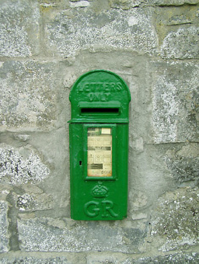 post boxpost box · 1644 yd
 Man-made underground passage in CloonahardMan-made underground passage · 1.0 mi
 Saint Mel's CathedralCathedral · 3.6 mi
 First World War MemorialMemorial · 3.7 mi
 Bully's Acregraveyard/cemetery, unknown · 4.1 mi
 National Famine WayWalking route · 5.2 mi
 Graveyard in Curry (ardagh By., Coolamber Ed)Graveyard · 5.3 mi
 Granard MotteMotte-and-bailey castle remains · 9.1 mi