What is recorded here
Fairy fort in Ballydoorlis is a sub-circular earthen ringfort on an NNE-facing pasture slope in County Limerick. Its bank stands 1.7m high externally but cattle have worn the NE arc flat and people quarried a depression into the NNE edge. The interior remains level under rough grazing, suggesting it served as enclosure or exclusion rather than display. What is missing is as visible as what remains: the bank shows where life repeated itself until it changed the shape of the place.
In pasture, on NNE-facing slope. Sub-circular area (28.8m N-S; 26.5m E-W) enclosed by earthen bank (int. H 0.4m; ext. H 1.7m), best preserved SSW->NNE but lowers as it progresses up-slope NE->SE becoming scarp-like at S (H 0.45m; Wth 2.65m). Bank much denuded by cattle accessing interior, particularly along NE arc. Bank has been quarried out NNE->NE where a depression (D 0.85m; 12m N-S; 10m E-W) extends into N verge of interior. Level interior, under rough grazing.
Compiled by: Denis Power
Date of upload: 26 August 2011
The monument record does not grant public access. Check the route and ask the landowner before entering private land.
- What survives
- Recorded monument
Places near here
 Mound in Corbally (shanid By.)Mound · 485 yd
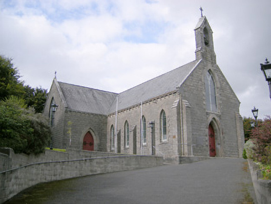 Saint Colman's Catholic Churchchurch/chapel · 758 yd
 Kilcolman Church (in ruins)Church · 824 yd
 Mound in KnockbweeheenMound · 1123 yd
 Shanid CastleCastle · 1.5 mi
 Shanid Castle (in ruins)Castle, Anglo-Norman masonry castle · 1.5 mi
 St. Luke's WellSpring · 2.7 mi
 St. Kieran's WellSpring · 4.0 mi
 Monterey CypressMonterey Cypress · 5.3 mi
 Gammarel PointHeadland · 5.6 mi
 Limerick GreenwayWalking route · 6.0 mi
 Prospect HillMountain / peak · 6.2 mi