What is recorded here
Fairy fort in Ballycotton, County Cork: a ringfort, now levelled into tillage on an east-facing slope. It kept a semicircular shadow on old maps, thirty metres across, before the eastern part disappeared under the plough. What remains is a absent shape, a hole in the land that once held walls, doors, lives and the risk of losing them.
In tillage, on E-facing slope. Shown on all eds of OS 6-inch map as hachured semicircular area (diam. c. 30m N-S); E area removed. Levelled; no visible surface trace.
The above description is derived from the published 'Archaeological Inventory of County Cork. Volume 2: East and South Cork' (Dublin: Stationery Office, 1994). In certain instances the entries have been revised and updated in the light of recent research.
Date of upload/revision: 14 January 2009
The monument record does not grant public access. Check the route and ask the landowner before entering private land.
- What survives
- Recorded monument
Places near here
 Enclosure in BallycottonEnclosure · 63 yd
 Sean McGrathhouse · 296 yd
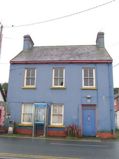 garda station/constabulary barracksgarda station/constabulary barracks · 305 yd
 Ch (Site of)Church · 344 yd
 Mary StandfordMemorial · 775 yd
 P.N.L.B. Mary StandfordWreck · 797 yd
 Ballycotton Island (Small)Islet · 1563 yd
 Ballycotton IslandIslet · 1.4 mi
 Garryvoe BeachBeach / strand · 1.7 mi
 Garryvoe Castle (in Ruins)Castle, tower house · 3.1 mi
 CastleCastle, tower house · 3.6 mi
 Ballycroneen BeachBeach / strand · 4.4 mi