What is recorded here
In pasture, on SE-facing hill slope. Roughly oval area (33.5m N-S; 26.5m E-W) enclosed by low earthen bank (int. H 0.1m; ext. H 0.2m) SW->NW and NE->SE. At N and S enclosing element is truncated by field boundaries which converge to form acute angle 28m E of enclosure. Interior and much of enclosing element covered by furze bushes, and otherwise heavily poached by cattle accessing stream running along base of field boundary on N side of angle.
Compiled by: Denis Power
Date of upload: 26 August 2011
The monument record does not grant public access. Check the route and ask the landowner before entering private land.
- What survives
- Recorded monument
Places near here
 Not shown.Fairy fort / earthen ringfort · 425 yd
 Fulacht fia in CloonyclohassyFulacht fia · 657 yd
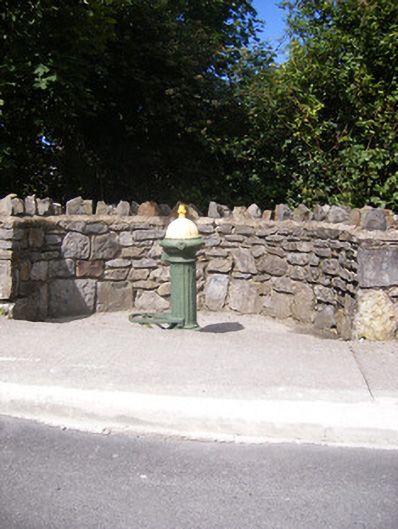 water pumpwater pump · 900 yd
 Shanagolden Garda Síochána StationRIC barracks · 1002 yd
 Castle (Site of)Castle, unclassified · 1461 yd
 Shanid CastleCastle · 1.1 mi
 Foynes Flying Boat & Maritime MuseumMuseum · 3.0 mi
 Monterey CypressMonterey Cypress · 3.1 mi
 Foynes Island ViewpointViewpoint · 3.1 mi
 Gammarel PointHeadland · 3.4 mi
 Foynes IslandIsland · 3.7 mi
 Battery PointHeadland · 3.7 mi