What is recorded here
In pasture, atop hill; in NW corner of large field with public road immediately to W. Monument, depicted as roughly circular embanked enclosure (diam. c. 40m) on 1841 OS 6-inch map, has been truncated on N and W sides by field boundaries. Enclosing element survives E->SSE as scarped edge (H 0.8m; Wth 10m) containing wedge-shaped area (32m N-S; 34m E-W) otherwise enclosed by field boundary. Interior under pasture and slopes down gently to N. Both 1841 and 1923 OS 6-inch maps marks a "cave" immediately S of centre within enclosure, suggesting the presence of a Man-made underground passage, but there is no evident trace of any such feature.
Compiled by: Denis Power
Date of upload: 26 August 2011
The monument record does not grant public access. Check the route and ask the landowner before entering private land.
- What survives
- Recorded monument
Places near here
 Cullam CastleCastle · 633 yd
 CastleCastle, unclassified · 986 yd
 M. O'Kellyhouse · 1410 yd
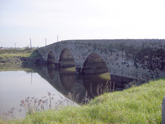 Ferry Bridgebridge · 1454 yd
 Kildimo (Old)Settlement cluster · 1.0 mi
 Field system in ClorhaneField system · 1.3 mi
 Celtic Park and GardensHeritage attraction · 2.6 mi
 European BeechEuropean Beech · 3.0 mi
 Desmond CastleHeritage attraction · 3.0 mi
 St James's WellSpring · 3.3 mi
 European YewEuropean Yew · 3.6 mi
 Sailors HaggardMemorial · 3.8 mi