What is recorded here
Half of the ringfort is missing, taken by a fieldbank and a levelled western sector, leaving only a shallow semi-circle of earth beside a modern road. What remains is small enough to step over, yet it marks the exact place where a complete rath once stood. The loss is not vague; it is visible in the broken shape, showing how much of the original structure has already surrendered to the land.
Internal diameter 22m N-S
This univallate rath has been divided roughly in two by a fieldbank running N-S. The W sector of the site has been levelled and no surface trace remains. A modern road runs S of this field in an E-W direction. What remains today is a semi-circular area enclosed by a low earthen bank whose external height measures .7m and internal height .4m. The width of the bank at the base measures 3m.
The above description is derived from C. Toal, ‘North Kerry Archaeological Survey’. Dingle. Brandon in association with FAS Training and Employment Authority (1995), no. 208. In certain instances the entries have been revised and updated in the light of recent research.
Date of upload: 2 August 2013
The monument record does not grant public access. Check the route and ask the landowner before entering private land.
- What survives
- Recorded monument
Places near here
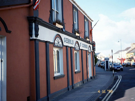 Gerald O'Connorhouse · 189 yd
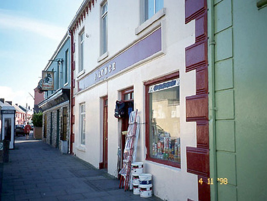 J. Lynchhouse · 203 yd
 Man-made underground passage in BallybunnionMan-made underground passage · 599 yd
 CastleCastle, tower house · 624 yd
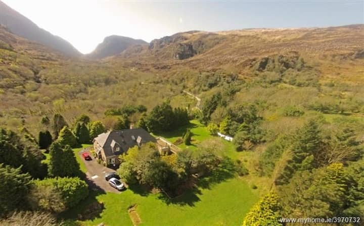 ToberreendoneyHoly well · 640 yd
 Ladies' BeachBeach / strand · 696 yd
 Ballybunion Cliff PathWalking route · 723 yd
 Men's BeachBeach / strand · 751 yd
 PulleenIslet · 1011 yd
 Dookeenee CastleCastle · 1110 yd
 Crazy GolfHeritage attraction · 1.2 mi
 Doon PointHeadland · 1.5 mi