What is recorded here
Clear skies, familiar landmarks and the memory of a woman who walked there give the fort more life than a forgotten name. The chamber is small enough to face at once and large enough to hold a whole region in a single view. A person who knows the area and remembers being carried there may have lived inside that boundary. The facts leave room for her story because the form still invites it.
Internal diameter 22m N-S, 23m E-W
Situated in the top left-hand corner of McMahon's pastoral field, the view from this site is excellent in all directions. This site consists of a sub-circular area enclosed by a well-defined earthen bank. The maximum height of the bank measures 2.7m externally and 2m internally. On average the width of the bank at the base measures 4m. The interior is at a higher level than the surrounding land and in the centre is a raised mound 9m x 7m. Two gaps to the NNW and W, both measuring c 1.5m, provide access to the interior.
The above description is derived from C. Toal, ‘North Kerry Archaeological Survey’. Dingle. Brandon in association with FAS Training and Employment Authority (1995), no. 207. In certain instances the entries have been revised and updated in the light of recent research.
Date of upload: 2 August 2013
The monument record does not grant public access. Check the route and ask the landowner before entering private land.
- What survives
- Recorded monument
Places near here
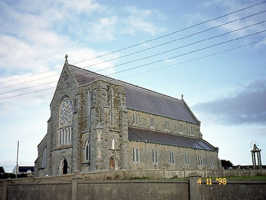 Saint John's Catholic Churchchurch/chapel · 314 yd
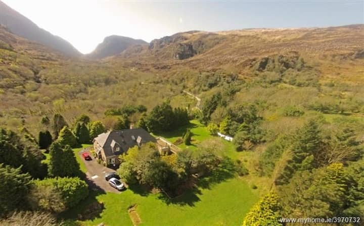 ToberreendoneyHoly well · 476 yd
 Ballybunion Cliff PathWalking route · 482 yd
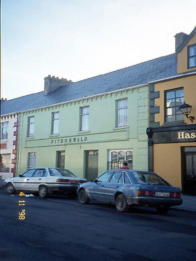 Fitzgeraldhouse · 614 yd
 Nuns' BeachBeach / strand · 685 yd
 Ladies' BeachBeach / strand · 706 yd
 Dookeenee CastleCastle · 733 yd
 Man-made underground passage in BallybunnionMan-made underground passage · 807 yd
 CastleCastle, tower house · 818 yd
 PulleenIslet · 1352 yd
 Doon PointHeadland · 1.1 mi
 Bromore CliffsCliff · 1.4 mi