What is recorded here
Situated on a marked E/NE-facing slope. Oval area (dims. 35m E-W; 29m N-S) defined at the N and S by an earth and stone bank (Wth 2m; H 0.3-1m) and at the W by a scarp cut into the sloping ground. At the E there is an artificial platform (H 2m) with no trace of the bank except for some facing stones still in situ. Other internal and external facing stones occur intermittently on the site. The interior is bisected by a N-S wall (Wth 1.8-4m; H 1m) and there are two terraces revetted by walls in the W sector. No trace of an entrance feature or fosse.
The above description is derived from the published 'Archaeological Inventory of County Wicklow' (Dublin: Stationery Office, 1997). In certain instances the entries have been revised and updated in the light of recent research.
Date of upload/revision: 17 December 2008
The monument record does not grant public access. Check the route and ask the landowner before entering private land.
- What survives
- Recorded monument
Places near here
 Enclosure in KillegarEnclosure · 844 yd
 Enclosure in KilmalinEnclosure · 918 yd
 Glencullen Bridgebridge · 1534 yd
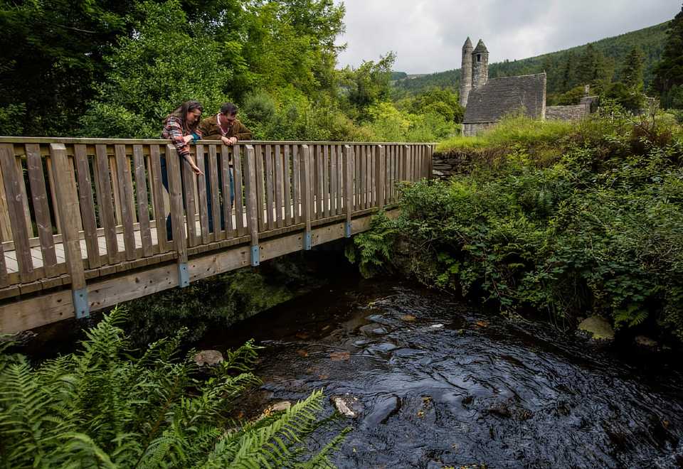 Anacrivey WoodForest · 1710 yd
 IndicatedCastle, motte · 1753 yd
 The Bog MeadowWood · 1.2 mi
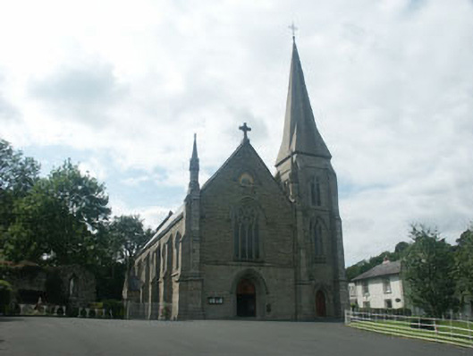 Saint Mary's Catholic ChurchOfficially recorded historic building · 1.2 mi
 Barnaslingan HillMountain / peak · 1.3 mi
 Powerscourt EstateHeritage attraction · 1.4 mi
 Barnaslingan - Pine loop trailWalking route · 1.5 mi
 Barnaslingan - Scalp Lookout TrailWalking route · 1.5 mi
 Prince William's SeatMountain / peak · 1.7 mi