What is recorded here
Marianne and I followed the red ribbon to a shallow ring hidden beside ordinary pasture. I expected a forgotten ruin, but the measure kept returning to thirty-two metres and fifty centimetres, a size large enough for a small household yet modest enough to disappear into the land. She touched the soft bank and laughed at my certainty. We had come to judge a dead place, while the place had already judged us for believing that certainty and wonder could not share the same circle.
In pasture, on gentle SSE-facing slope. Circular area (32.5m N-S) enclosed by earthen bank (int. H 0.75m) SW->E; scarp (H 0.95m) E->SW; external fosse (D 0.8m) W->ENE. Interior partially overgrown.
The above description is derived from the published 'Archaeological Inventory of County Cork. Volume 4: North Cork' (Dublin: Stationery Office, 2000). In certain instances the entries have been revised and updated in the light of recent research.
Date of upload/revision: 14 January 2009
The monument record does not grant public access. Check the route and ask the landowner before entering private land.
- What survives
- Recorded monument
Places near here
 Man-made underground passage in CurraghsMan-made underground passage · 1074 yd
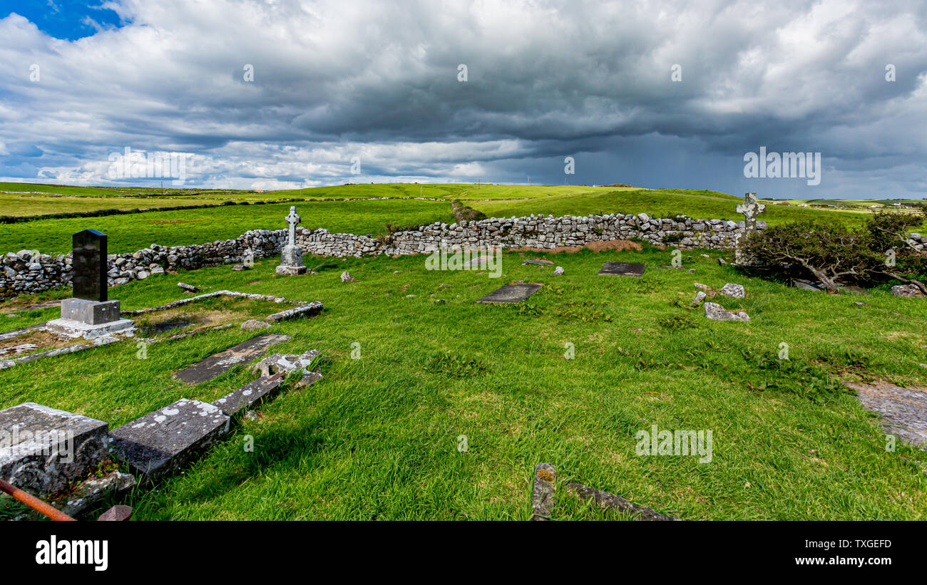 Killeenuna Burial Gd (Disused)Burial ground · 1133 yd
 KilnKiln, lime · 1451 yd
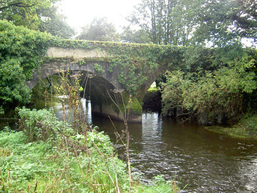 John's Bridgebridge · 1.2 mi
 Battle of LiscarrollMajor battlefield · 2.7 mi
 Liscarroll CastleCastle · 2.8 mi
 CastleCastle, unclassified · 4.0 mi
 Stanner's Glen, Priory WoodWood · 4.2 mi
 Lady's WellSpring · 4.9 mi
 Hanna SheehyMemorial · 5.1 mi
 Burial ground in AssolasBurial ground · 5.2 mi
 European YewEuropean Yew · 5.2 mi