What is recorded here
Fairy forts are often just ordinary farmyards where people stopped asking questions. In Ballinvullin, a forty-metre embanked circle stood on a gentle south-facing slope until ploughing erased it. The 1924 map still draws its line, and a 2002 aerial photograph caught a faint shadow in the crops, but no human memory remains to tell whether it housed a family, a herdsman, or something the village preferred not to name.
In pasture, on gentle S-facing slope. Monument, depicted as embanked sub-circular enclosure (diam. c. 40m) on 1924 OS 6-inch map, has been levelled. No trace of monument evident when inspected. Aerial photograph (ASIAP) taken in 2002 shown cropmark of roughly circular univallate enclosure.
Compiled by: Denis Power
Date of upload: 26 August 2011
See attached ASI aerial photograph ASIAP – 325/5, 7 on 05/10/2002.
The monument record does not grant public access. Check the route and ask the landowner before entering private land.
- What survives
- Recorded monument
Places near here
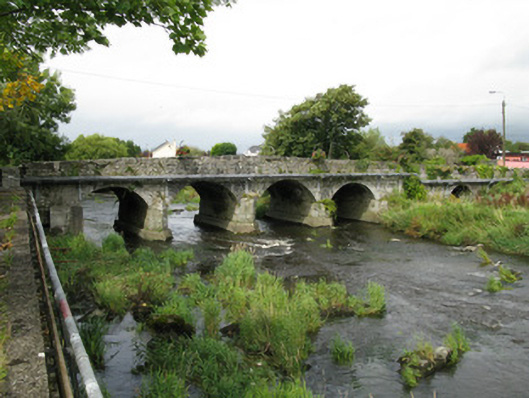 Castlemahon Bridgebridge · 547 yd
 water pumpwater pump · 630 yd
 Castle MahonCastle · 781 yd
 Enclosure in Mahoonagh BegEnclosure · 1382 yd
 EnclosureEnclosure, large enclosure · 1.4 mi
 Templars Castle (in ruins)Castle, Anglo-Norman masonry castle · 2.6 mi
 Garbally WellSpring · 3.4 mi
 Saint Ite's WellSpring · 3.9 mi
 European ashEuropean ash · 4.8 mi
 Ballagh MountainMountain / peak · 5.0 mi
 Limerick GreenwayWalking route · 5.8 mi
 Sugar HillMountain / peak · 6.6 mi