What is recorded here
Situated on a slight natural rise surrounded by gently undulating grassland. Ringfort (WM011-118----) 380m to SW. Nunnery (WM011-121---) 135m to SE. A slightly raised sub-circular shaped area (approx. diam. 30m N-S; 32m E-W) enclosed by a two poorly preserved earthen banks and intervening fosse. The inner bank has several disturbance gaps and has dry-stone walling on its inner face at ESE, and the outer counterscarp bank is fragmentary also. There is an entrance gap (Wth 1.4m) in the inner bank at S, a causeway (Wth 4.4m; H 0.3m) across the fosse and corresponding entrance gap (Wth 1.4m) in the outer bank. There is another possible entrance gap at E (Wth 1.4m). The interior rises towards the centre where an ESB pole has been erected, and a low mound which has been partially dug away exposing some small loose stones. Earthworks of uncertain date visible on Digital Globe aerial photograph taken November 2011 to S & N, although the S earthworks may be an extension of the earthworks around castle (WM011-120---).
See attached profile of monument surveyed and drawn by the ASI.
Compiled by: Frank Coyne and Caimin O'Brien
Date of upload: 28 August 2017
The monument record does not grant public access. Check the route and ask the landowner before entering private land.
- What survives
- Recorded monument
Places near here
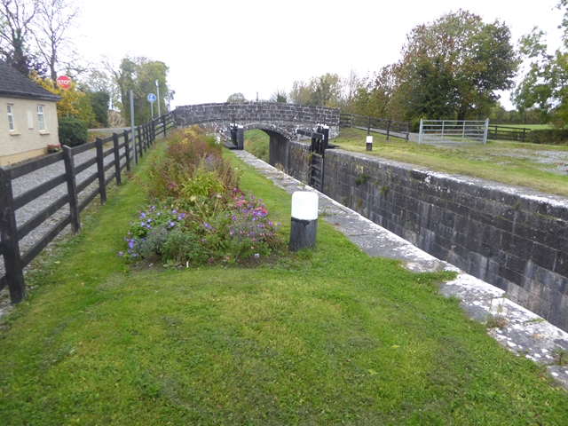 Balroe Bridgebridge · 164 yd
 34th Locklock · 181 yd
 CastleCastle, tower house · 258 yd
 Hut site in BallintueHut site · 799 yd
 Partially hachuredCastle, ringwork · 1099 yd
 CrossCross, High cross · 1169 yd
 Baronstown ForestWood · 2.2 mi
 Horse-chestnutHorse-chestnut · 2.3 mi
 Craft WorkshopHeritage attraction · 7.7 mi
 Guest ServicesVisitor information · 7.7 mi
 Newcastle WoodsForest · 8.4 mi
 National Famine WayWalking route · 12 mi