What is recorded here
Fairy fort in Ballinlongig: a shallow earthen ring, 32 to 33 metres across, c. 0.3 m high, beside Ahavarraga Stream in County Limerick. The name suggests people once placed it outside ordinary human life, yet the shape is plainly made: a border drawn in soil, with a gap at the east and a floor sloping toward the water. It may have marked a household, a boundary, a place of exclusion or a small centre of local life. The field still holds its line, while the meaning has slipped into legend.
In low-lying pasture, on flat terrain, immediately S of Ahavarraga Stream. Roughly circular area (32.5m N-S; 33m E-W) defined by scarped edge (H 0.3m). Scarp best preserved SE->SW, difficult to trace W->NNE where a field boundary skirts edge of site. Dip in scarp at ENE for c. 6m. Interior, under pasture, slopes down gently to ENE.
Compiled by: Denis Power
Date of upload: 26 August 2011
The monument record does not grant public access. Check the route and ask the landowner before entering private land.
- What survives
- Recorded monument
Places near here
 Enclosure in BallinlongigEnclosure · 280 yd
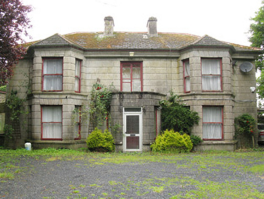 Woodfield Househouse · 1389 yd
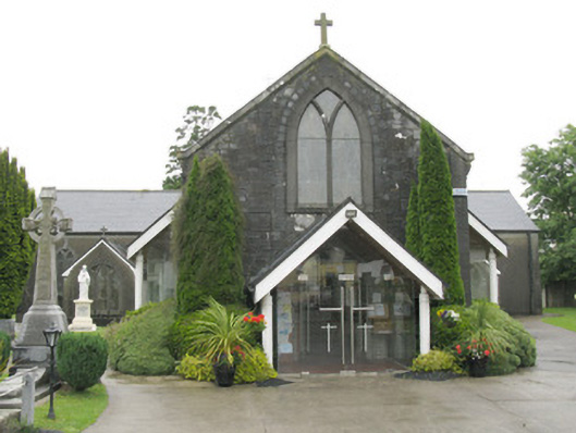 Saint Bartholomew's Catholic Churchchurch/chapel · 1464 yd
 DromcolliherSettlement cluster · 1493 yd
 National Co-op MuseumMuseum · 1677 yd
 CastleCastle, unclassified · 1.2 mi
 ToberacappeenSpring · 1.2 mi
 Castle (in ruins), Springfield CastleCastle, tower house · 1.4 mi
 ToberhoranSpring · 2.3 mi
 Mullaghareirk - Banane LoopWalking route · 5.9 mi
 Ballagh MountainMountain / peak · 6.7 mi
 Battle of LiscarrollMajor battlefield · 7.9 mi