What is recorded here
Depicted as a circular enclosure on the 1837 edition of the OS 6-inch map. Situated on a low rise on a penninsula jutting into the W side of Ballisodare Bay. The site has been levelled. Remains comprise a scarp extending from NE-E-S which is largely obscured by field clearance debris. There are no extant remains surviving of the W half of the site. The enclosed area was c.30m in diameter.
Compiled by: Patrick F. O'Donovan
Date of upload: 19 January 2011
The monument record does not grant public access. Check the route and ask the landowner before entering private land.
- What survives
- Recorded monument
Places near here
 Enclosure in Ballinlig (tireragh By.)Enclosure · 254 yd
 Font in Ballinlig (tireragh By.)Font · 429 yd
 Lahanacappul IslandIslet · 465 yd
 Ballinlig PointHeadland · 832 yd
 CastleCastle, ringwork · 1031 yd
 Portavaud PointHeadland · 1112 yd
 Giant's GraveArchaeological place · 1578 yd
 Carrowgarry Househouse · 1725 yd
 Bawn in Tanrego WestBawn · 1743 yd
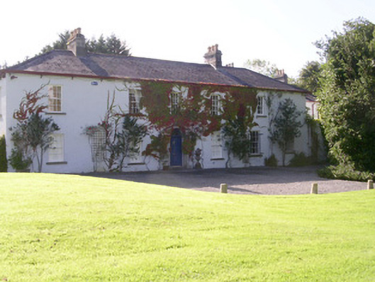 Tanrego Househouse · 1.1 mi
 CulleenamoreBeach / strand · 1.6 mi
 European ashEuropean ash · 2.2 mi