What is recorded here
Half-hidden in pasture above a Mayo farmyard, the oval rath in Ballinlabaun keeps its edge only where the land still remembers it. The scarp rises a metre and a half on the west, then melts into slope, fence and grass, as if the fort had stopped being built and become a breath of the hill. People may have stood inside when the shape was new, but the ground has taken most of the answer. What remains is large enough to walk around and quiet enough to forget until the line reappears.
In pasture, located on rise at the break of slope where ground falls away to N and W. There is a farmyard 65m to N.
This rath is not indicated on the 1938 and 1922 OS 6-inch maps. It consists of an oval area (c. 35.5m N-S; c. 51.5m E-W) defined by a scarp. The scarp (Wth slope 2m; H 1.8m) is well defined on SW-NW, where cuts into and is enhanced by the natural ridge slope; at N the scarp peters out, merging imperceptibly with the natural slope; at NE-S it is low (H 0.3-0.5m), with a short section at SE retaining a low internal lip (Wth 2.4m). The N half of the interior is level, with a gentle slope down from there to S. In the N of the interior, along the line of a slight E-W scarp, there is a shallow depression (2m E-W; 2m N-S), defined on S and W sides by a low stony rise; this appears to be the result of relatively recent modification of the enclosure.
The enclosure is partly boxed in by field fences, which slightly truncate the scarp at NNE and E, and cut across the S edge of the interior. There is a possible enclosure (MA038-008----) 7m to E.
Compiled by: Jane O'Shaughnessy
Date of upload: 17 July 2019
The monument record does not grant public access. Check the route and ask the landowner before entering private land.
- What survives
- Recorded monument
Places near here
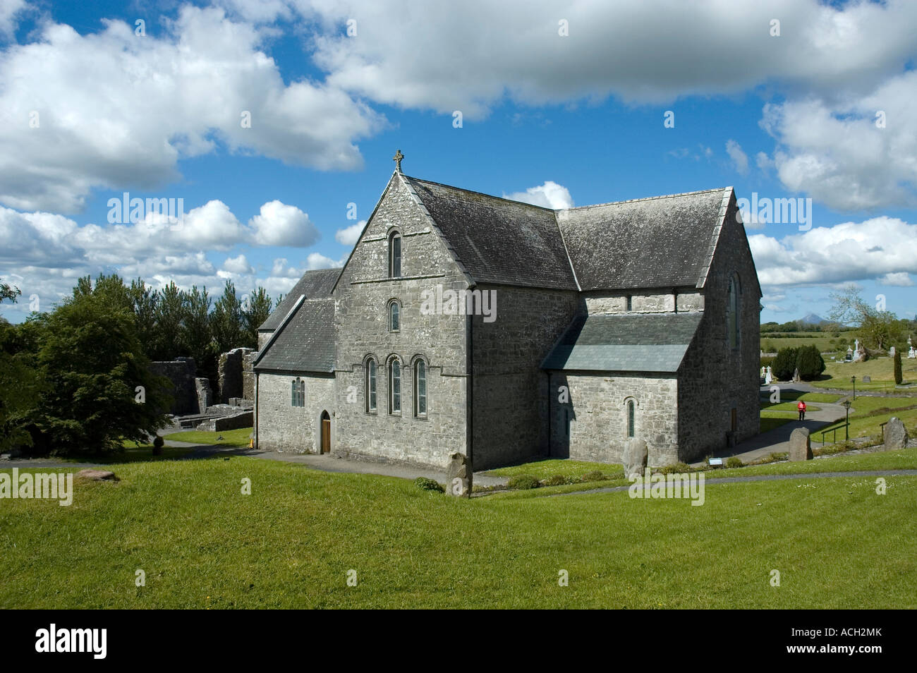 Enclosure in BallinlabaunEnclosure · 53 yd
 RathbaunFairy fort / earthen ringfort · 669 yd
 Grave of the KingsArchaeological place · 1459 yd
 RathmoreCastle, motte · 1.3 mi
 Enaghmore Castle (in Ruins)Castle, unclassified · 1.3 mi
 Catholic Church of Our Ladychurch/chapel · 1.4 mi
 Church in ruinsChurch · 1.4 mi
 Castle IslandIslet · 3.4 mi
 Roe IslandIslet · 3.8 mi
 Titanic Memorial ParkMemorial · 4.4 mi
 NephinMountain / peak · 5.2 mi
 KnockaffertaghMountain / peak · 8.0 mi