What is recorded here
Situated on gentle E-facing slope, in undulating pasture, with extensive views to N, E and SE. Depicted on the revised 1913 ed. OS 25-inch map as an oval-shaped earthwork. Bivallate enclosure described in 1971 as an oval-shaped area (dims. 35m NW-SE; 30m NE-SW) enclosed by an inner bank, an intervening fosse and an outer bank. The substantial inner bank is badly eroded by livestock at SE, WSW and NW. A deep U-shaped intervening fosse and an outer bank are visible from SE-S-W-N. A gap (Wth at top 6.7m; basal Wth 3.5m) in the inner bank at ENE presumably represents the entrance. The interior has a gentle ENE-facing slope. There is a large quarry hole outside the monument at NW, which is also depicted on the revised 1913 ed. OS 25-inch map. According to a subsequent field report from 1977, the monument has recently been defaced by bulldozing and large gaps have been cut in the bank at E and W. Some sandy soil has been dumped into the fosse at N and into an old quarry hole at NW. The interior has mostly been bulldozed and only a small segment in the N and S sectors remain undisturbed. Levelled monument is barely visible today as an oval-shaped cropmark on Digital Globe aerial photography.
Compiled by Alison McQueen, Vera Rahilly and Caimin O’Brien.
Date of upload: 06 November 2019
The monument record does not grant public access. Check the route and ask the landowner before entering private land.
- What survives
- Recorded monument
Places near here
 Hut site in BallinlaHut site · 1 yd
 Ecclesiastical site in CrossanstownEcclesiastical site · 314 yd
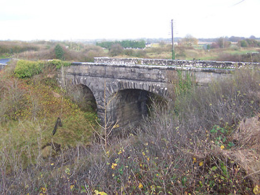 bridgebridge · 987 yd
 Footy's Bridgebridge · 1020 yd
 CastleCastle, unclassified · 1.0 mi
 Heathstown CastleCastle, tower house · 1.1 mi
 Abandoned Kinnegad CanalWood · 6.9 mi
 ScregganWood · 7.0 mi
 Croppies' GraveMemorial · 7.9 mi
 25th Locklock · 1022 yd
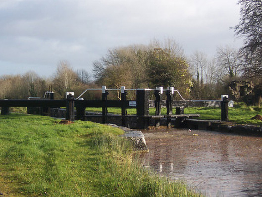 24th Locklock · 1077 yd
 23rd Locklock · 1211 yd