What is recorded here
Ballingowan holds a sub-circular earthen ringfort with a narrow north-east entrance and a dry, level interior. People may have lived there before the land became pasture, but the stones and soil no longer answer every question. The fairies keep the fort closed to human memory, waiting for patience instead of tools.
In level pasture. Sub-circular area (24.5m N-S; 21m E-W) enclosed by earthen bank (int. H 0.4m; ext. H 1.95m) SW->NE, and defined by scarped edge (H 1.5m; Wth 2m) NE->SW, with external fosse (D 1.4m; Wth 3.6m) SE->WSW; fosse re-cut as drain ENE->SE and WSW->NNE. Entrance (Wth 1.9m) at NE. Field boundary abuts outer edge of fosse at SSW. Interior level, dry and clear of overgrowth.
Compiled by: Denis Power
Date of upload: 26 August 2011
The monument record does not grant public access. Check the route and ask the landowner before entering private land.
- What survives
- Recorded monument
Places near here
 Grange BridgeBridge · 960 yd
 Moviddyhouse · 989 yd
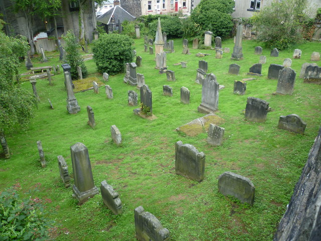 Burial GroundGraveyard · 1180 yd
 BarrowBarrow, ditch barrow · 1415 yd
 Templars Castle (in ruins)Castle, Anglo-Norman masonry castle · 1.5 mi
 Castle MahonCastle · 2.7 mi
 St. Luke's WellSpring · 3.3 mi
 European ashEuropean ash · 3.5 mi
 St. Kieran's WellSpring · 3.7 mi
 Limerick GreenwayWalking route · 4.7 mi
 Sugar HillMountain / peak · 6.0 mi
 Ballagh MountainMountain / peak · 7.0 mi