What is recorded here
Thirty-two metres of forgotten boundary still circles the flat Galway grass, though a later field wall has bitten through its southeast edge. The remaining bank and outer ditch mark a place where humans once drew a sharp line around ordinary life. Everything inside that lost circle has returned to soil, leaving behind a shallow invitation to imagine who stood there, argued there, or loved there before forgetting took the names.
In level grassland. Very poorly preserved circular rath (D 32m) defined by a bank from SE through W to N. No visible surface trace survives from N to ESE and a field wall overlies it at SE. An external fosse survives from W to N.
The above description is derived from the published 'Archaeological Inventory of County Galway Vol. II - North Galway'. Compiled by Olive Alcock, Kathy de hÓra and Paul Gosling (Dublin: Stationery Office, 1999).
Date of upload: 05 August 2010
The monument record does not grant public access. Check the route and ask the landowner before entering private land.
- What survives
- Recorded monument
Places near here
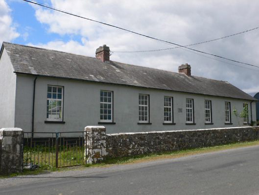 Toberroe National Schoolschool · 252 yd
 Enclosure in Newtown (ballymoe By.)Enclosure · 882 yd
 Ardagh Ho.House, 18th/19th century · 1400 yd
 Cross in Ballynakill (ballymoe By.)Cross · 1586 yd
 Site of Killomaine Grave YardArchaeological place · 1640 yd
_-_geograph.org.uk_-_1952978.jpg?width=1280) Bawn in Glinsk (ballymoe By.)Bawn · 1.4 mi
Bawn in Glinsk (ballymoe By.)Bawn · 1.4 mi Site of Ballyglass CastleCastle, unclassified · 3.0 mi
 Rook HillMountain / peak · 3.2 mi
 HawthornHawthorn · 5.4 mi
 Mount MaryMountain / peak · 6.0 mi
 European ashEuropean ash · 7.3 mi
 Sally IslandIslet · 7.6 mi