What is recorded here
Situated on a gradual ENE-facing slope in pasture. Not indicated on the 1st ed. OS 6-inch map but shown on the latest ed. as a circular mound/enclosure. The site has been levelled and is barely visible as a roughly circular-shaped platform (diam. 27.3m N-S; 27m E-W; H 0.63m) with an undulating surface. There is a natural depression extending N-S immediately W of the site.
The above description is derived from 'The Archaeological Inventory of County Tipperary. Vol. 1 - North Tipperary' compiled by Jean Farrelly and Caimin O'Brien (Dublin: Stationery Office, 2002). In certain instances the entries have been revised and updated in the light of recent research.
Date of upload/revision: 22 September 2008
The monument record does not grant public access. Check the route and ask the landowner before entering private land.
- What survives
- Recorded monument
Places near here
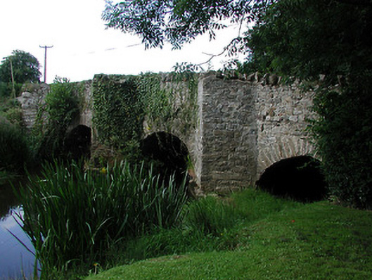 bridgebridge · 1481 yd
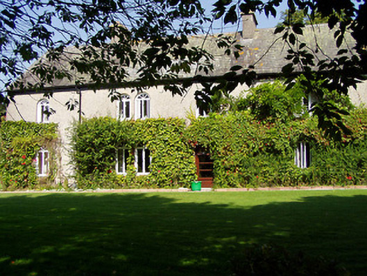 Ballynaclogh Househouse · 1539 yd
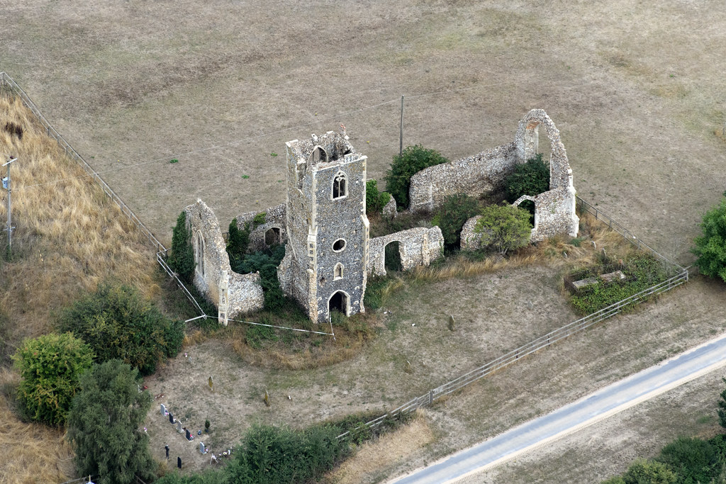 Settlement desertedSettlement deserted, medieval · 1545 yd
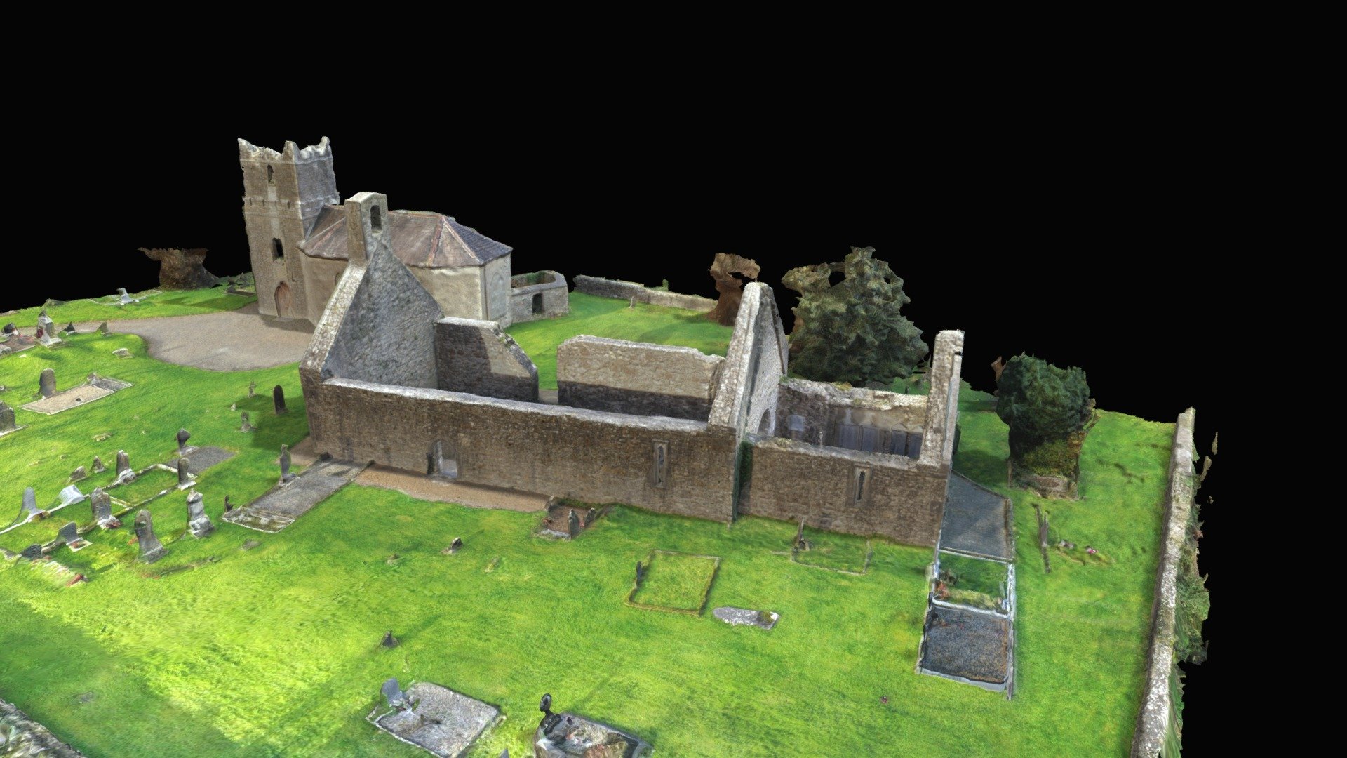 CastleCastle, Anglo-Norman masonry castle · 1572 yd
 Monaquill Ho.Castle, unclassified · 1618 yd
 Field system in BallynacloghField system · 1.1 mi
 Gibbet HillMountain / peak · 1.5 mi
 Sweet ChestnutSweet Chestnut · 2.6 mi
 Ballincurra HillMountain / peak · 2.9 mi
 Our Lady Assumed into HeavenMemorial · 3.6 mi
 Killavalla WoodForest · 3.6 mi
 The MinerMemorial · 3.6 mi