What is recorded here
Half a century of conifers have swallowed the fort, yet two earthen banks and a shallow ditch still circle a reed-choked bowl on the hill’s south face. Cattle gaps and a causewayed entrance suggest it served living people, not fairy legend, though the name persists. The reduced scarps and dense growth hint that the fort was abandoned before it was forgotten.
On the S-facing slope of a hillock, within an extensive coniferous forestry plantation. Hachured on the 1916 ed. of the OS 6-inch map. Listed as cashel in the RMP (1996). This subcircular rath (int. dims. 26.5m E-W; 25m N-S) is defined by two earthen banks and an intervening fosse. The enclosing elements are visible from SW to N to SE but the inner (int. H 0.25m; ext. H 0.8m) and outer (Wth 3.4m; int. H 1.1m; ext. H 0.35m) banks are reduced to a scarp from SE to SW. Likewise, the flat-bottomed fosse (Wth 1m at base; Wth c. 4m at top) is reduced to a berm (Wth 6m) in this area. There is a causewayed entrance gap (Wth 3m) at ENE and a number of cattle gaps are also visible. The interior slopes to the S and is covered with a dense carpet of reeds.
Compiled by: Olive Alcock and Lynda McCormack
Date of upload: 6 May 2022
The monument record does not grant public access. Check the route and ask the landowner before entering private land.
- What survives
- Recorded monument
Places near here
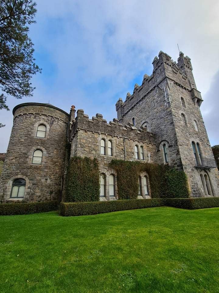 Tullagh Castle (in ruins)Castle, unclassified · 1118 yd
 CaherballaghFairy fort / earthen ringfort · 1137 yd
 CastleCastle, unclassified · 1352 yd
 CahersherkinFairy fort / earthen ringfort · 1690 yd
 Penitential station in CahersherkinPenitential station · 1.1 mi
 Kiltonaghty Church (in ruins)Church · 1.2 mi
 Burren Centre KilfenoraVisitor information · 2.3 mi
 High CrossHeritage attraction · 2.4 mi
 Fergus River CaveCave · 3.7 mi
 European ashEuropean ash · 4.0 mi
 Inchiquin IslandIslet · 4.8 mi
 Rock IslandIsland · 4.9 mi