What is recorded here
A narrow-topped earthen bank still circles Ayle Upper, rising one and a half metres above pasture on a hillock that overlooks County Clare. Its two small gaps face northwest and north-northeast, while vegetation crowds the dished centre and field boundaries run outward like spokes from a forgotten wheel. People may have kept animals, hidden during storms or simply owned a fine view there before the land was divided. The fort does not need fairy names to seem alive; it is still shaping the field, resisting forgetfulness and offering its clarity to anyone who climbs the hill.
In pasture, on top of a hillock (70m OD) with excellent views of the surrounding landscape. Depicted on all OS historic mapping as a subcircular enclosure. It consists of a subcircular area (29m NE-SW; 26m NW-SE) defined by a well-formed, narrow-topped earthen bank (int. H 0.45m; ext. H 1.5m; Wth at top 0.4m; Wth at base 3.45m) which is covered in vegetation. There are narrow gaps (Wth 1.3m) at NW and NNE but no other entrance is apparent, possibly due to the vegetation. The interior is dished, with a high point at NNW. Vegetation around the perimeter is encroaching upon the centre of the interior. Field boundaries radiate from the exterior of the monument at NNE, SE and WSW, where there are gates in each case.
The following images have been uploaded:
_01 From SW. General view of monument.
_02 From W. Oblique cross-sectional view of bank at SSE.
_03 From SW. General view of interior.
_04 From NW. General view of monument.
Compiled by: Mary Tunney, Alison McQueen and Vera Rahilly
Date of upload: 5 December 2018
A fairy fort or earthen ringfort in Ayle Upper, likely dating to the early medieval period, is a subcircular earthwork situated on a prominent hillock, traditionally associated with fairy lore and possibly used as a seasonal dwelling or ceremonial site. It has been consistently mapped by the Ordnance Survey as an enclosure, suggesting long-term recognition and preservation.
The monument record does not grant public access. Check the route and ask the landowner before entering private land.
- What survives
- Recorded monument
Places near here
 Enclosure in TomeEnclosure · 928 yd
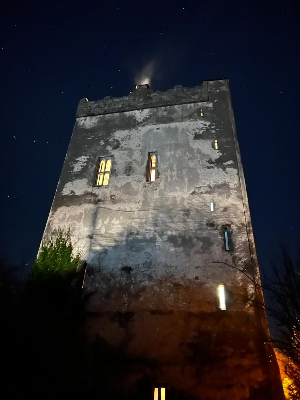 Lecarrow FortEnclosure · 1478 yd
 Castle (in ruins)Castle, tower house · 1.5 mi
 Castle (Site of)Castle, tower house · 2.1 mi
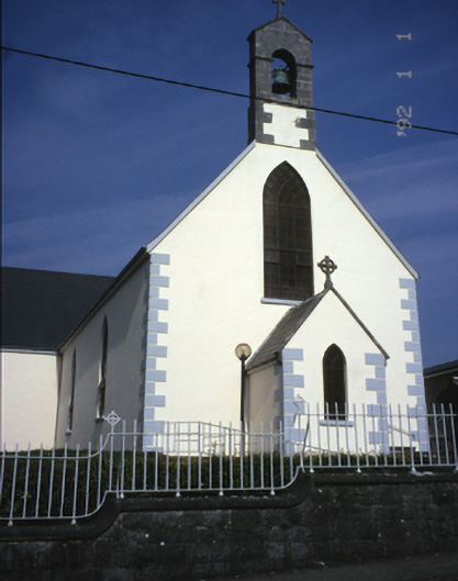 Saint Mary's Catholic Churchchurch/chapel · 2.6 mi
 Derrymore Housegate lodge · 2.7 mi
 The StablesGallery · 3.8 mi
 MagheraMountain / peak · 4.5 mi
 Cherry laurelCherry laurel · 4.6 mi
 Japanese cedarJapanese cedar · 4.7 mi
 Cloghleagh RockNamed rock · 6.1 mi
 Mulkere MemorialMemorial · 8.6 mi