What is recorded here
Mnemo knows the usual rules. She keeps the variables visible, records the facts being used, and asks for recovery when data is missing.
On the SW slope of a low hill. Depicted as a circular enclosure with the designation 'Fort' on the 1837 ed. of the OS 6-inch map. The monument is not visible at ground level.
Compiled by: Patrick F. O'Donovan
Date of upload: 26 August 2011
The monument record does not grant public access. Check the route and ask the landowner before entering private land.
- What survives
- Recorded monument
Places near here
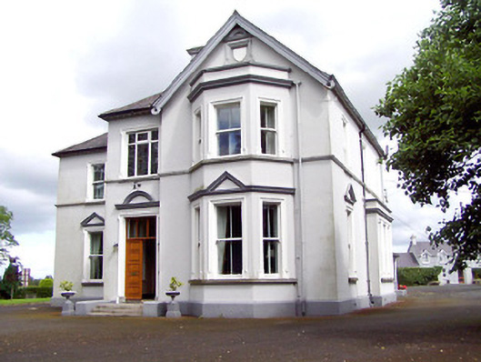 Saint Michael'sbishop's palace · 433 yd
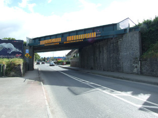 bridgebridge · 465 yd
 Saint Mel's CathedralCathedral · 715 yd
 First World War MemorialMemorial · 948 yd
 Fulacht fia in LisnamuckFulacht fia · 969 yd
 Grave Yd.Graveyard · 990 yd
 Bawn in AbbeycartronBawn · 1172 yd
 CastleCastle, Anglo-Norman masonry castle · 2.9 mi
 Graveyard in Curry (ardagh By., Coolamber Ed)Graveyard · 3.1 mi
 Commons North WalkVisitor information · 9.3 mi
 Wild birdsVisitor information · 9.5 mi
 White Sand WoodWood · 9.8 mi