What is recorded here
Mortons and others climbed the steep hill to face the fort, but the fairies had already claimed the top. They refused every human request and returned only when the children stopped fighting. The small earth ring stands at the hill's crown because it belonged to the hidden people before it became a local legend.
Located towards the top of a steep and prominent hill. Grass-covered D-shaped area (diam. 26m E-W) defined by a slight scarp (H 0.15m) and traces of an external fosse (Wth 1.2m). It is truncated by a field bank at S.
The above description is derived from 'The Archaeological Inventory of County Leitrim' compiled by Michael J. Moore (Dublin: Stationery Office, 2003). In certain instances the entries have been revised and updated in the light of recent research.
Date of upload: 23 September 2008
The monument record does not grant public access. Check the route and ask the landowner before entering private land.
- What survives
- Recorded monument
Places near here
 Sweat Ho.Sweathouse · 133 yd
 Sweat HoSweathouse · 893 yd
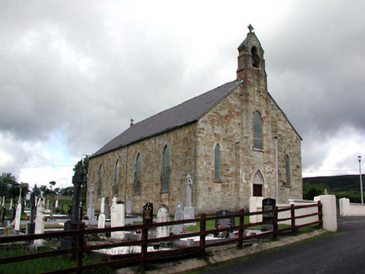 Saint Mary's Catholic Churchchurch/chapel · 1518 yd
 Lough MacNean WalkWalking route · 1538 yd
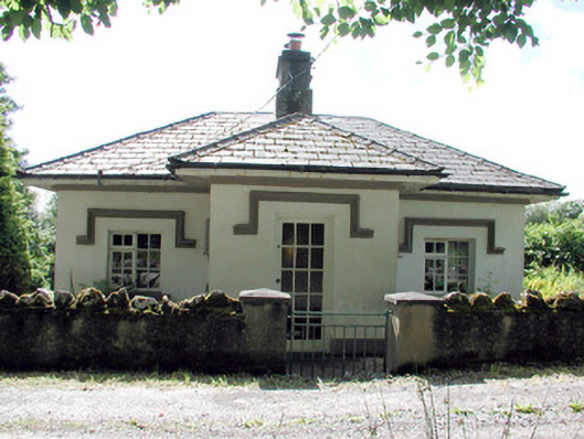 Glenfarne Hallgate lodge · 1638 yd
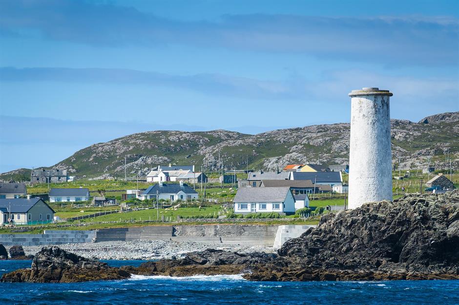 Bilberry IslandIslet · 1.0 mi
 Saint Patrick's IslandIslet · 1.1 mi
 Port IslandCastle, Anglo-Norman masonry castle · 1.6 mi
 CorrevanMountain / peak · 2.0 mi
 Giant's GraveArchaeological place · 2.0 mi
 BarranMountain / peak · 2.7 mi
 Teampull RuisínHeritage attraction · 4.2 mi