
What is recorded here
Reported (28-9-2021) by Mr Aidan Harte, Project Co-ordinator, Leitrim Sweathouse Project. Depicted and named ‘Sweat Ho.’ on the first edition (c.1835) of the O.S. 6-inch map where it is shown c. 12m E of a cashel (LE013-001----) and roughly centrally located in relation to the nearest dwellings which are shown c. 160m to the NNE, c. 250m to the ESE, c. 260m to the SSW and c. 300m to the WSW.
On an E-facing slope in mature woodland above a SE-flowing stream in a deep ravine. A collapsed, roughly rectangular chamber (L c.1.6m; Wth c. 1.45m) is defined by large boulders with a possible entrance opening at S.
See attached photo: Viewed from SSW on 11-8-2021.
Compiled by: Gearóid Conroy
Date of upload: 3 November 2022
Sweat Ho is a historic sweathouse associated with traditional sweat rituals, likely used for healing or spiritual purification. The site's name and mapping suggest a long-standing local tradition, possibly linked to early Christian or prehistoric practices involving heat and water for ritual or medicinal purposes.
The monument record does not grant public access. Check the route and ask the landowner before entering private land.
- What survives
- Recorded monument
Places near here
 Sweat Ho.Sweathouse · 354 yd
 Lough MacNean WalkWalking route · 893 yd
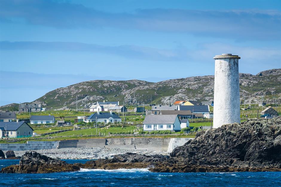 Bilberry IslandIslet · 1054 yd
 Saint Patrick's IslandIslet · 1084 yd
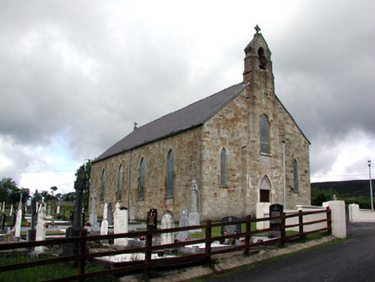 Saint Mary's Catholic Churchchurch/chapel · 1.2 mi
 Port IslandCastle, Anglo-Norman masonry castle · 1.3 mi
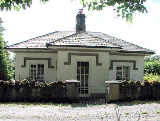 Glenfarne Hallgate lodge · 1.3 mi
 ENCLOSURE in CorraleaENCLOSURE · 1.7 mi
 Giant's GraveArchaeological place · 1.8 mi
 CorrevanMountain / peak · 2.2 mi
 BarranMountain / peak · 2.8 mi
 Teampull RuisínHeritage attraction · 3.8 mi
Other information
Photo: Credit not shown in the picture search · Rights wording not checked; contact us if this picture should be removed