What is recorded here
Fairy fort / earthen ringfort in Annakisha North is a levelled, saucer-shaped pasture circle about twenty metres across on a steep NE-facing slope in County Cork. It appeared as a hachured enclosure on the 1842 Ordnance Survey map, but human hands or ploughs have since softened its edges into a low rise with a faint external ditch. The sharp drop outside the circle suggests people valued the view, the shelter or the boundary between land and cliff. Whatever lived there has been erased, leaving only a gentle depression where the earth still remembers a shape.
In pasture, on NE-facing slope. Depicted as hachured circular enclosure (diam. c. 22m) on 1842 OS 6-inch map. Levelled; circular, slightly raised, saucer-shaped area (diam. c. 20m) defined by low rise; external fosse (D 0.2m) ENE->N. Immediately outside site E->SSW land falls away sharply.
The above description is derived from the published 'Archaeological Inventory of County Cork. Volume 4: North Cork' (Dublin: Stationery Office, 2000). In certain instances the entries have been revised and updated in the light of recent research.
Date of upload/revision: 14 January 2009
The monument record does not grant public access. Check the route and ask the landowner before entering private land.
- What survives
- Recorded monument
Places near here
 Tubber an eelingFairy fort / earthen ringfort · 1142 yd
 IndicatedEnclosure · 1291 yd
 Clenor Church (in Ruins)Church · 1.0 mi
 Clenor and Carrig Schoolschool · 1.0 mi
 Scots PineScots Pine · 1.6 mi
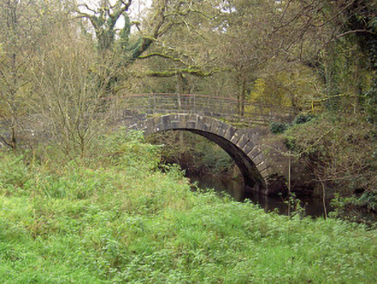 Doneraile Courtfoot bridge · 2.1 mi
 Caherduggan Castle (Site of)Castle, unclassified · 2.2 mi
 Mallow Castle HouseCastle · 4.1 mi
 In loving memory of Elvis O'DonoghueMemorial · 4.6 mi
 Mallow River TrailVisitor information · 4.7 mi
 Anne's Grove GardensHeritage attraction · 5.1 mi
 Blackwater WayWalking route · 5.2 mi