What is recorded here
No visible fort remains at An Gráig, though local memory and the lost name Dún Urlann suggest a ringfort once stood there. The sea, time and changing land have removed what could be measured, leaving only the possibility of a defended place beside the coast.
Internal diam. 23.8m N-S, 24.6m E-W
Donaghcoor Fort: A univallate rath situated on a gentle NW facing slope between the W slopes of Croaghmarhin and the sea. It commands an excellent view N to Sybil Head and SW to Clogher Head. The roughly circular interior is enclosed by a single earthen bank and fosse. The S sector has been severely disturbed by the fairly recent construction of a farmyard wall along the top of the bank; the fosse and the outer part of the bank have been destroyed as a result. The fosse is traceable around the remainder of the perimeter but is not very substantial. It varies from .4 to .1m in depth and from c. 1 to 1.92m in width. The bank varies from c. 1.6 to 2.8m in width at base and is up to 1.75m high. It is generally very eroded and gapped. There are intermittent traces of a stone revetment along its inner flank. A 2m wide gap through the bank at SW, immediately W of the modern wall, is bounded along its E side by a stone wall. This gap appears to be a late feature, and the original entrance faces SE. The latter is 1.63m wide and is lined by large stones, up to 1.59m long and .96m high. This area has been disturbed by the construction of the farmyard wall and it is not clear whether the stones are an original part of the entrance or whether they have been cleared from elsewhere.
The above description is derived from J. Cuppage, ‘Corca Dhuibhne. Dingle Peninsula archaeological survey. Ballyferriter. Oidhreacht Chorca Dhuibhne’ (1986), no. 456. In certain instances the entries have been revised and updated in the light of recent research.
Date of upload: 7 August 2013
The monument record does not grant public access. Check the route and ask the landowner before entering private land.
- What survives
- Recorded monument
Places near here
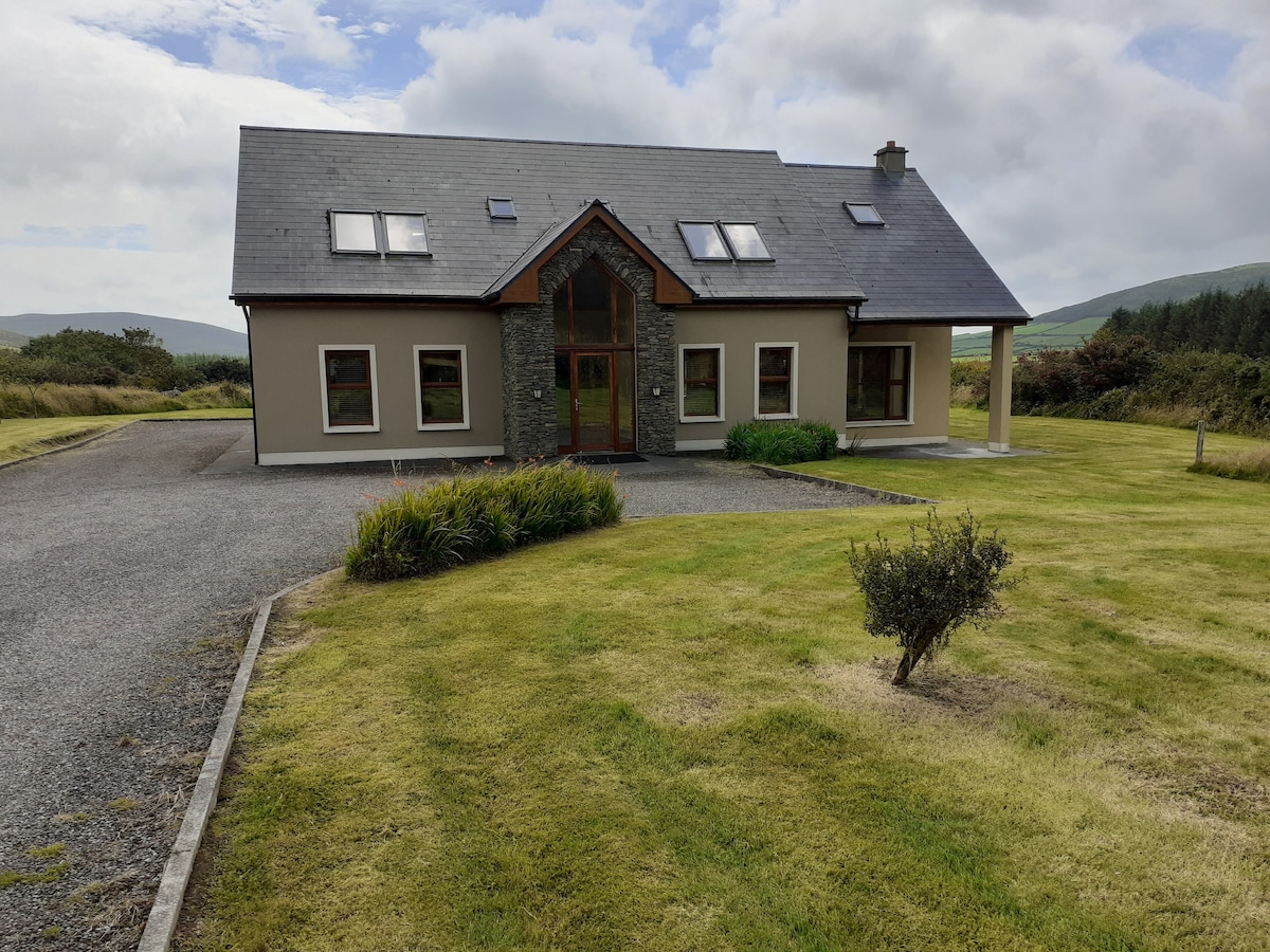 Hut site in An Gráig (tc Dún Urlann)Hut site · 380 yd
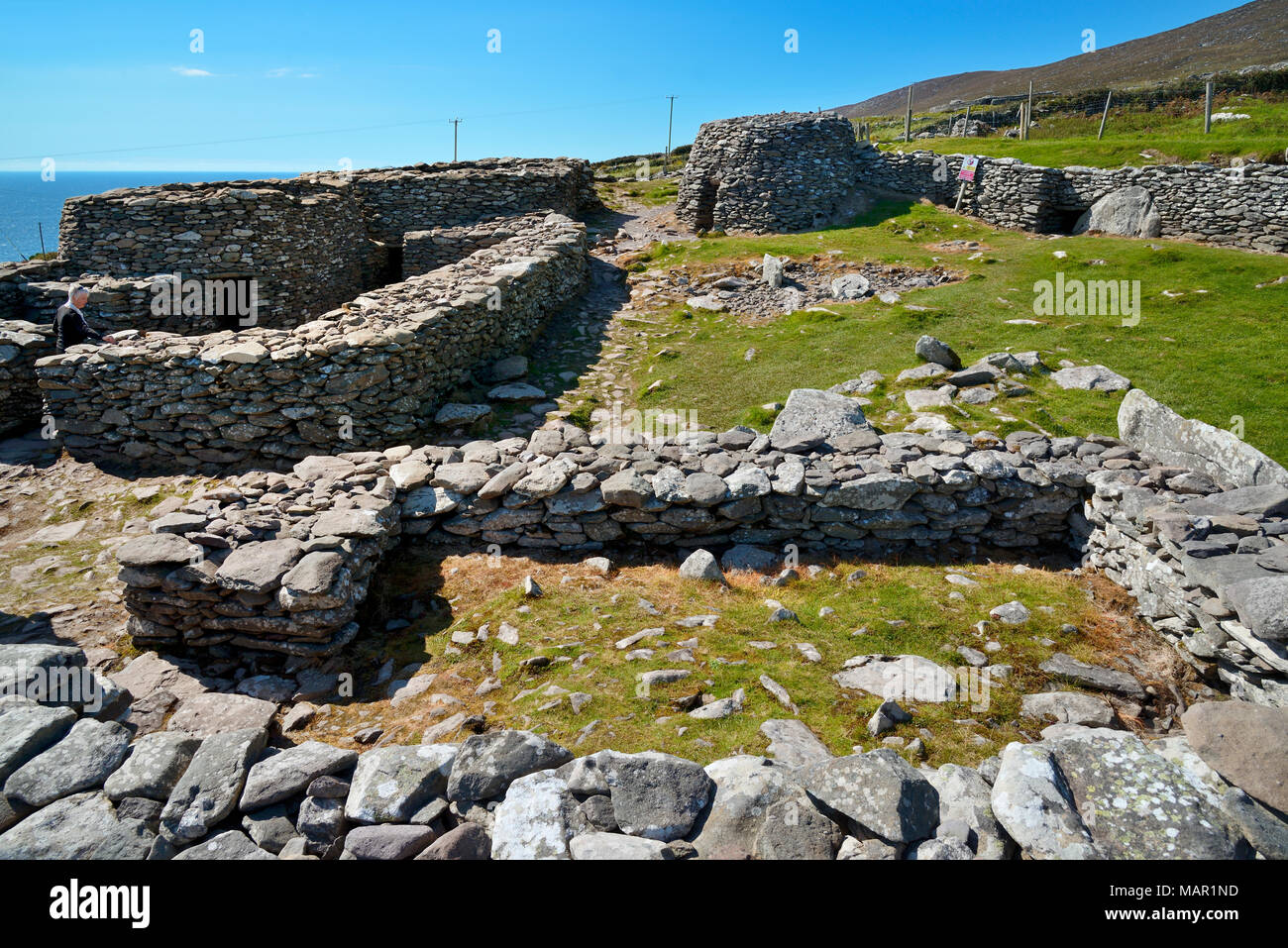 Hut site in CloichearHut site · 392 yd
 Tráigh ChloichirBeach / strand · 614 yd
 Mullach Charraige LéitheMountain / peak · 776 yd
 Ceann SrathaNamed rock · 1106 yd
 Faill BuíCliff · 1161 yd
 Cruach MhárthainMountain / peak · 1.1 mi
 Kilgobnet Penitential StationPenitential station · 1.1 mi
 Dunquin Church (in ruins)Church · 1.2 mi
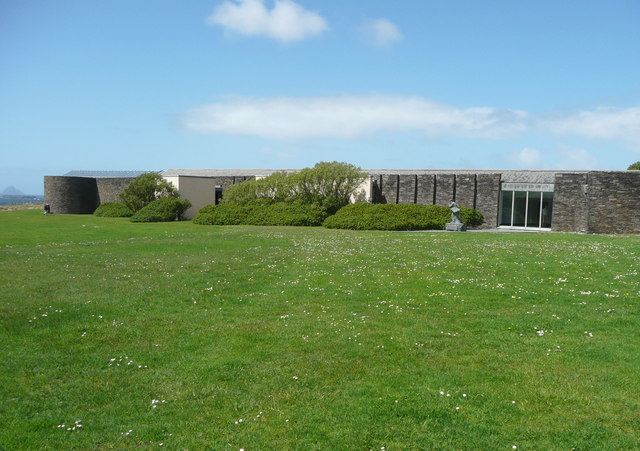 Ionad an Bhlascaoid MhóirMuseum · 1.4 mi
 Caisleán PhiaraisCastle · 1.5 mi
 Ferriters Castle (in ruins)Castle, tower house · 1.6 mi