What is recorded here
A narrow gap and shallow ditch mark the northern approach to a level circular platform twenty-one metres across. People cut the hillside to the south and raised soil to the north, proving the tilt instead of submitting to it. The finished shape stands beside Glandore Harbour like a room built for weather, company or resistance.
In pasture, on NNW-facing slope, E of Glandore Harbour. Roughly circular area (diam. c. 21m) enclosed by low earthen bank (H 1.6m), with silted-up external fosse to N. Interior level, cut into hillside to S, raised slightly to N to compensate for hillslope.
The above description is derived from the published 'Archaeological Inventory of County Cork. Volume 1: West Cork' (Dublin: Stationery Office, 1992). In certain instances the entries have been revised and updated in the light of recent research.
Date of upload/revision: 14 January 2009
The monument record does not grant public access. Check the route and ask the landowner before entering private land.
- What survives
- Recorded monument
Places near here
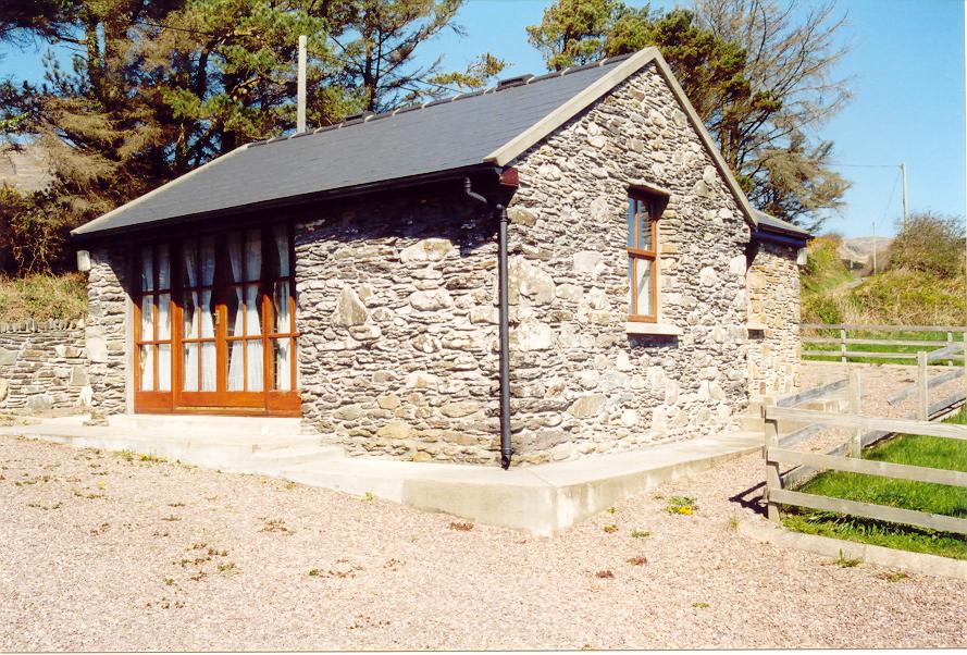 Enclosure in Aghatubrid MoreEnclosure · 360 yd
 Myross PointHeadland · 497 yd
 Wild Atlantic WayVisitor information · 834 yd
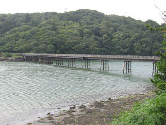 Poulgorm Bridgebridge · 892 yd
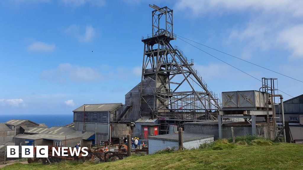 Manganese Mines (Disused)Mining complex · 905 yd
 Church (in Ruins)Church · 986 yd
 Sitka SpruceSitka Spruce · 1077 yd
 Leap waterfallHeritage attraction · 1236 yd
 Big HeightMountain / peak · 1360 yd
 Cnoc BuíMountain / peak · 1530 yd
 Bláth na GréineWood · 1665 yd
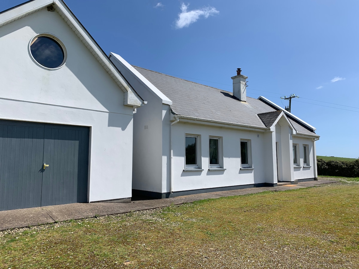 Tobar na gCapallSpring · 1741 yd