What is recorded here
Aghacreevy holds two earth rings, the larger spanning thirty-five metres across a shallow ditch and low bank. Its southeast gap still points toward the road, inviting entry into a space where human hands shaped the land long before written records. The smaller ring sits ten metres west, like a shadow cast by the first. Together they suggest a settled life, perhaps seasonal, perhaps sacred, where people moved through soil and memory rather than stone.
Raised circular area (int. diam. c. 35m) enclosed by a low earthen bank and slight traces of a fosse. Original entrance may have been at SE. The site of a second rath lies c. 10m to W (CV037-002----).
The above description is derived from the published 'Archaeological Inventory of County Cavan' (Dublin: Stationery Office, 1995). In certain instances the entries have been revised and updated in the light of recent research.
Date of upload/revision: 22 December 2008
A fairy fort or earthen ringfort in Aghacreevy is a likely early-medieval agricultural or defensive settlement, characterized by a raised circular area with a surrounding bank and fosse. Local tradition associates such sites with fairy folklore, and they were often considered sacred or inhabited by supernatural beings in Irish tradition.
The monument record does not grant public access. Check the route and ask the landowner before entering private land.
- What survives
- Recorded monument
Places near here
 Kilnahard Housecountry house · 558 yd
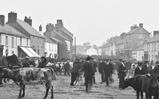 IndicatedFairy fort / earthen ringfort · 762 yd
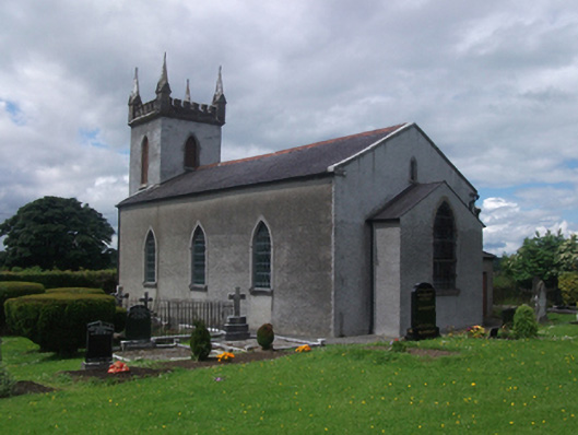 St Paul's Church of Ireland Churchchurch/chapel · 953 yd
 CastleCastle, motte · 1127 yd
 Crane IslandIslet · 1700 yd
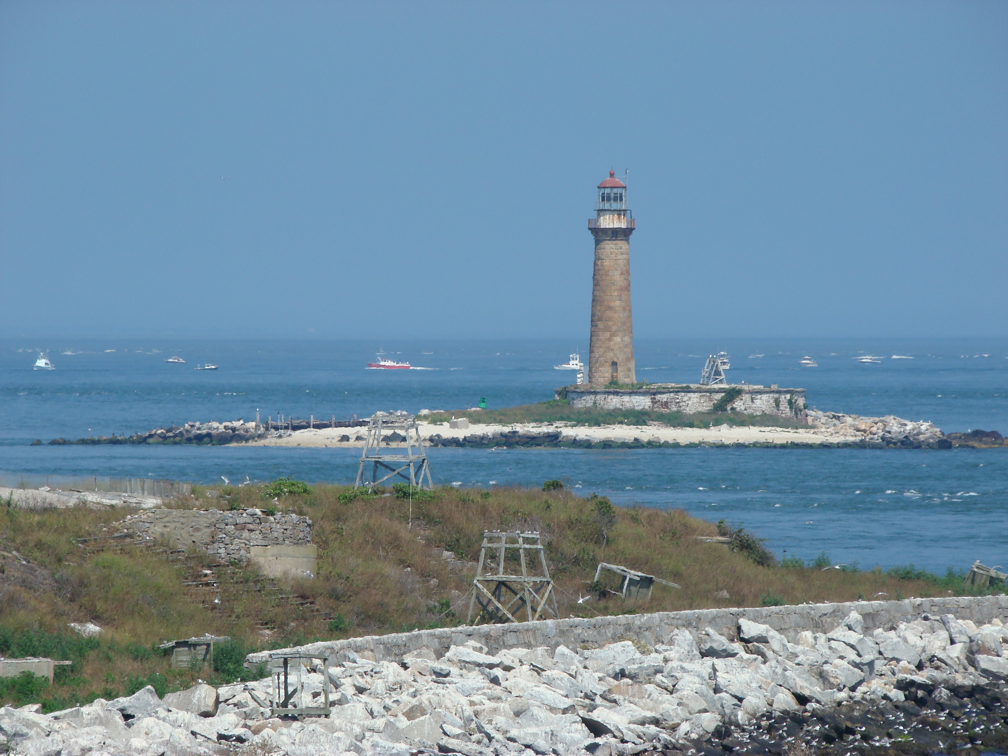 Gull IslandIslet · 1.1 mi
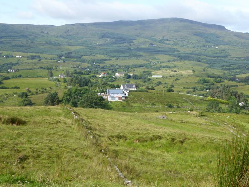 Tony FortArchaeological place · 1.2 mi
 Aghakilmore LowerMountain / peak · 1.5 mi
 Deer ParkWood · 2.0 mi
 Carrick RockWood · 2.3 mi
 Muldarry PointHeadland · 2.4 mi
 St. Pauls Ch.Church · 978 yd