What is recorded here
Situated on an E-facing slope. Circular area (diam. 27.5m) defined by an earthen bank (Wth 4-5m generally to 6.3m at SSW; int. H 1m generally to 1.9m at SW; ext. H 1.3m at SSW) with traces of stone facing. There is no visible fosse. An entrance (Wth 2m) at ESE is now blocked, and the interior has been planted with coniferous trees.
The above description is derived from the published 'Archaeological Inventory of County Waterford' (Dublin: Stationery Office, 1999). In certain instances the entries have been revised and updated in the light of recent research.
Compiled by: Michael Moore.
Date of upload/revision: 6th May, 2011.
The monument record does not grant public access. Check the route and ask the landowner before entering private land.
- What survives
- Recorded monument
Places near here
 Enclosure in Ballynabanoge SouthEnclosure · 1194 yd
 Settlement cluster in GarranturtonSettlement cluster · 1279 yd
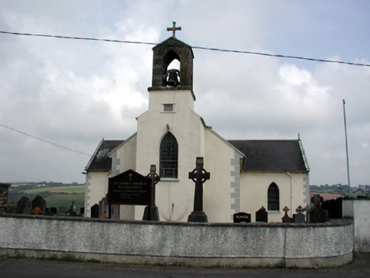 Saint Anne's Catholic Churchchurch/chapel · 2.0 mi
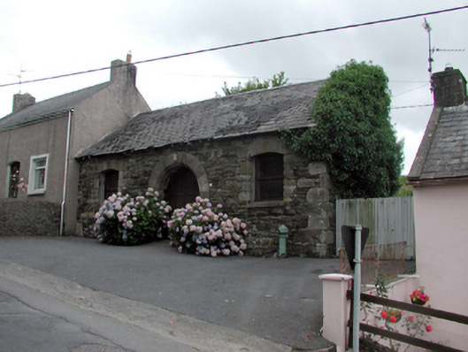 Historic buildingOfficially recorded historic building · 2.0 mi
 Castle (in ruins)Castle, unclassified · 2.1 mi
 8 Arch GalleryGallery · 2.1 mi
 Site of Cas.Castle, unclassified · 2.2 mi
 Stradbally Geological SundialHeritage attraction · 3.3 mi
 Ballydowane CoveBeach / strand · 3.7 mi
 Crough WoodWood · 3.7 mi
 Stradbally CoveBeach / strand · 3.8 mi
 Bunmahon Miners' CottagesVisitor information · 4.2 mi